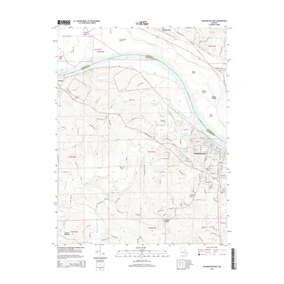
2015 Map of Washington West
USGS Topo · Published 2015About this map
The Missouri River carves a broad valley between Warren and Franklin counties, defining the northern landscape near Marthasville and the southern riverside city of Washington. This 2015 survey shows a blend of urban expansion and traditional Missouri bottomlands, with the Katy Trl following the northern bank through La Charrette Bottom. For genealogists, the map is particularly detailed, identifying several major burial grounds such as Saint Francis Borgia Cemetery, the Immanuel Lutheran Cemetery, and the Wildey Cemetery.
Find a feature on this map
144 named features on this map. Tap any name to fly to it.
Don’t see what you’re looking for? This feature index may not catch every label — zoom into the map to look around manually.
Map Details
Editions of this 2015 Washington West Map
This is the sole edition of this map. No revisions or reprints were ever made.
Other maps of this area

1890 · Hermann
USGS Topo · 1:125,000

1901 · De Soto
USGS Topo · 1:125,000

1903 · O'Fallon
USGS Topo · 1:125,000

1903 · Sullivan
USGS Topo · 1:125,000

1946 · Union
USGS Topo · 1:62,500

1947 · St. Clair
USGS Topo · 1:62,500

1948 · Union
USGS Topo · 1:62,500

1948 · Washington
USGS Topo · 1:62,500

1948 · Augusta
USGS Topo · 1:62,500

1949 · Saint Louis
USGS Topo · 1:250,000