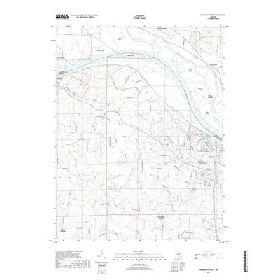
2017 Map of Washington West
USGS Topo · Published 2017About this map
The Missouri River carves a wide arc through this region of Missouri, separating the riverfront city of Washington from the rich alluvial soils of La Charrette Bottom. This 2017 survey documents the modern street grid of the city, including its dense residential and industrial blocks along W Front St and Grand Ave, while highlighting the numerous cemeteries that serve as touchstones for local family history. From the Saint Francis Borgia Catholic Cem in the city to the Newport Presbyterian Cem near Dundee, these sites ground the map in the community's genealogy. The landscape transitioning from the river bluffs to the rolling terrain of Fourmile Corner and Clover Bottom is defined by a dense network of country roads and creek systems like Saint Johns Creek and Tuque Creek.
Find a feature on this map
153 named features on this map. Tap any name to fly to it.
Don’t see what you’re looking for? This feature index may not catch every label — zoom into the map to look around manually.
Map Details
Editions of this 2017 Washington West Map
This is the sole edition of this map. No revisions or reprints were ever made.
Other maps of this area

1890 · Hermann
USGS Topo · 1:125,000

1901 · De Soto
USGS Topo · 1:125,000

1903 · O'Fallon
USGS Topo · 1:125,000

1903 · Sullivan
USGS Topo · 1:125,000

1946 · Union
USGS Topo · 1:62,500

1947 · St. Clair
USGS Topo · 1:62,500

1948 · Union
USGS Topo · 1:62,500

1948 · Washington
USGS Topo · 1:62,500

1948 · Augusta
USGS Topo · 1:62,500

1949 · Saint Louis
USGS Topo · 1:250,000