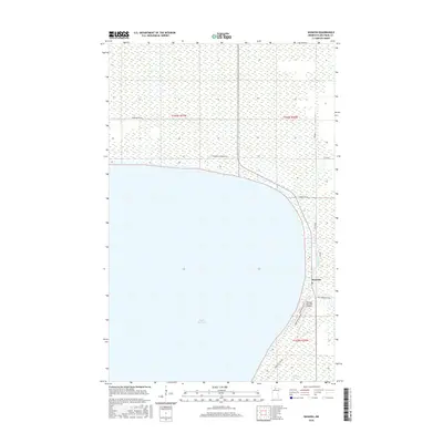
2016 Map of Waskish
USGS Topo · Published 2016About this map
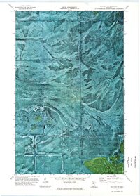
Upper Red Lake dominates the western half of this northern Minnesota landscape, where the eastern shoreline meets the small settlement of Waskish. The town is positioned at the mouth of the Tamarac River, a vital waterway that cuts through the boggy lowlands of Beltrami County. This 2016 survey illustrates the concentration of local infrastructure along the lakefront and riverbanks, including the Waskish Municipal Airport and a network of secondary roads such as Steel Bridge Rd Ne and Arbor Ridge Rd Ne. The interior terrain is defined by vast wetland patterns typical of the region, interspersed with small bodies of water like Larson Lake. The road system, featuring names like Fishermens Haven Rd Ne and Shoreline Dr Ne, reflects the area's orientation toward the water and seasonal recreation.
Find a feature on this map
18 named features on this map. Tap any name to fly to it.
Don’t see what you’re looking for? This feature index may not catch every label — zoom into the map to look around manually.
Map Details
Editions of this 2016 Waskish Map
This is the sole edition of this map. No revisions or reprints were ever made.
Other maps of this area

1919 · Fox
USGS Topo · 1:62,500

1919 · Norden
USGS Topo · 1:62,500

1919 · Knutson
USGS Topo · 1:62,500

1954 · Roseau
USGS Topo · 1:250,000

1957 · Roseau
USGS Topo · 1:250,000

1958 · Roseau
USGS Topo · 1:250,000
1973 · Ludlow Lookout Tower
USGS Topo · 1:24,000
1973 · Waskish NW
USGS Topo · 1:24,000
1973 · Norman Lake
USGS Topo · 1:24,000
1973 · Wayland SW
USGS Topo · 1:24,000