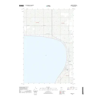
2019 Map of Waskish
USGS Topo · Published 2019About this map
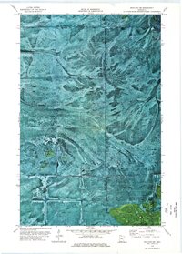
Waskish sits at the eastern edge of the expansive Upper Red Lake, where the Tamarac River flows into the basin. This northern Minnesota landscape is defined by its vast wetlands and the transition from the open water to the wooded interior of Beltrami County. The settlement pattern is largely concentrated along the shoreline, connected by corridors like Shoreline Dr NE and Fishermens Haven Rd NE. Further inland, the map shows the navigational importance of the Waskish Municipal Airport and a grid of rural routes including Co Rd 40. To the south, Larson Lake provides a secondary water feature amidst the marshy terrain. The presence of roads like Steel Bridge Rd NE indicates the necessary infrastructure for traversing this water-dominant geography, supporting the local fishing and aviation activities that define the community.
Find a feature on this map
17 named features on this map. Tap any name to fly to it.
Don’t see what you’re looking for? This feature index may not catch every label — zoom into the map to look around manually.
Map Details
Editions of this 2019 Waskish Map
This is the sole edition of this map. No revisions or reprints were ever made.
Other maps of this area

1919 · Fox
USGS Topo · 1:62,500

1919 · Norden
USGS Topo · 1:62,500

1919 · Knutson
USGS Topo · 1:62,500

1954 · Roseau
USGS Topo · 1:250,000

1957 · Roseau
USGS Topo · 1:250,000

1958 · Roseau
USGS Topo · 1:250,000
1973 · Ludlow Lookout Tower
USGS Topo · 1:24,000
1973 · Waskish NW
USGS Topo · 1:24,000
1973 · Norman Lake
USGS Topo · 1:24,000
1973 · Wayland SW
USGS Topo · 1:24,000