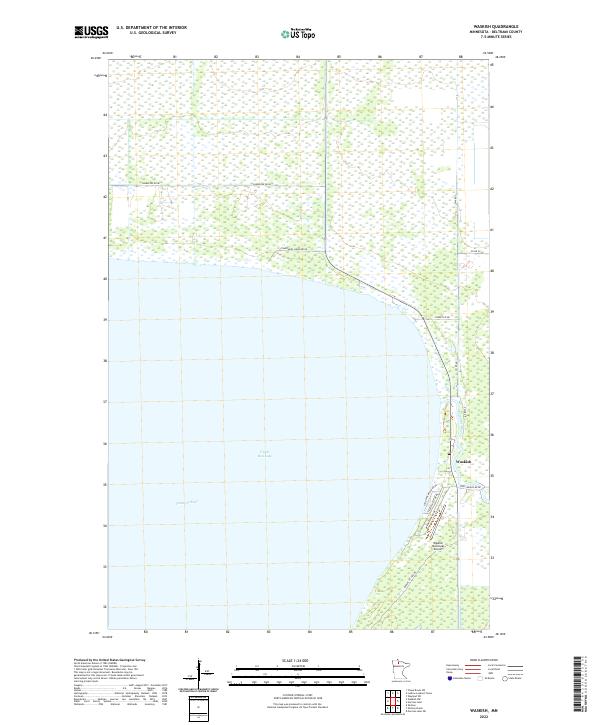
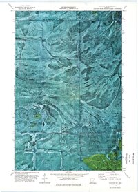
2022 Map of Waskish
USGS Topo · Published 2022About this map
Upper Red Lake dominates the western half of this area, where the Tamarac River empties into the expansive basin. The settlement of Waskish is situated along the eastern shoreline, serving as a focal point for the region's lake-oriented geography. The landscape is characterized by extensive wetlands and low-lying terrain typical of northern Beltrami County.
Find a feature on this map
17 named features on this map. Tap any name to fly to it.
Don’t see what you’re looking for? This feature index may not catch every label — zoom into the map to look around manually.
Map Details
Editions of this 2022 Waskish Map
This is the sole edition of this map. No revisions or reprints were ever made.
Other maps of this area

1919 · Fox
USGS Topo · 1:62,500

1919 · Norden
USGS Topo · 1:62,500

1919 · Knutson
USGS Topo · 1:62,500

1954 · Roseau
USGS Topo · 1:250,000

1957 · Roseau
USGS Topo · 1:250,000

1958 · Roseau
USGS Topo · 1:250,000
1973 · Ludlow Lookout Tower
USGS Topo · 1:24,000
1973 · Waskish NW
USGS Topo · 1:24,000
1973 · Norman Lake
USGS Topo · 1:24,000
1973 · Wayland SW
USGS Topo · 1:24,000