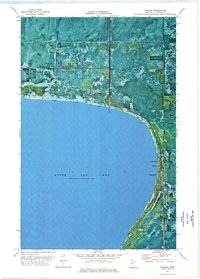
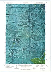
1973 Map of Waskish
USGS Topo · Published 1976About this map
Upper Red Lake dominates the southwestern expanse of this orthophotomap, its shoreline forming the primary boundary for the small settlement of Waskish. The 1970s landscape reveals a critical intersection of conservation and resource management, with the Red Lake State Wildlife Management Area and portions of the Beltrami Island State Forest covering much of the northern terrain. The Tamarac River winds through the eastern side, supporting local infrastructure such as a Public Access point and Campground.
Find a feature on this map
16 named features on this map. Tap any name to fly to it.
Don’t see what you’re looking for? This feature index may not catch every label — zoom into the map to look around manually.
Map Details
Editions of this 1973 Waskish Map
This is the sole edition of this map. No revisions or reprints were ever made.
Other maps of this area

1919 · Fox
USGS Topo · 1:62,500

1919 · Norden
USGS Topo · 1:62,500

1919 · Knutson
USGS Topo · 1:62,500

1954 · Roseau
USGS Topo · 1:250,000

1957 · Roseau
USGS Topo · 1:250,000

1958 · Roseau
USGS Topo · 1:250,000
1973 · Ludlow Lookout Tower
USGS Topo · 1:24,000
1973 · Waskish NW
USGS Topo · 1:24,000
1973 · Norman Lake
USGS Topo · 1:24,000
1973 · Wayland SW
USGS Topo · 1:24,000