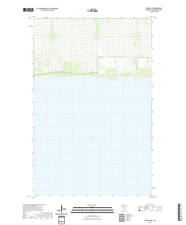
2022 Map of Waskish NW
USGS Topo · Published 2022About this map
Upper Red Lake dominates the southern half of this landscape in Beltrami County, marking a sharp transition between the vast open water and the low-lying wetland environment to the north. This coastal boundary is traced by several local routes, including Shoreline Dr Ne and Rocky Point Rd Ne, which provide access to the immediate lakeshore. Further inland, the northern terrain is defined by a dense network of marshes and conservation land, navigated primarily by specialized paths like the Consolidated Conservation Trails Trl and Blanchard Trl Ne. This 2022 survey captures the area’s character as a managed wilderness, where the infrastructure is built specifically to negotiate the soft, water-heavy soils of the northern Minnesota peatlands while maintaining access to the prominent inland sea of the Red Lake system.
Find a feature on this map
9 named features on this map. Tap any name to fly to it.
Don’t see what you’re looking for? This feature index may not catch every label — zoom into the map to look around manually.
Map Details
Editions of this 2022 Waskish NW Map
This is the sole edition of this map. No revisions or reprints were ever made.
Other maps of this area

1919 · G
USGS Topo · 1:62,500

1919 · Fox
USGS Topo · 1:62,500

1919 · Ponemah
USGS Topo · 1:62,500

1919 · Knutson
USGS Topo · 1:62,500

1943 · Ponemah
USGS Topo · 1:62,500

1954 · Roseau
USGS Topo · 1:250,000

1957 · Roseau
USGS Topo · 1:250,000

1958 · Roseau
USGS Topo · 1:250,000
1973 · Ludlow Lookout Tower
USGS Topo · 1:24,000
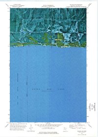
1973 · Waskish NW
USGS Topo · 1:24,000