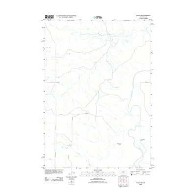
2012 Map of Wasta NW
USGS Topo · Published 2012About this map
The Cheyenne River snakes through the eastern portion of this West River landscape, defining the topography of Pennington County. This 2012 survey documents a sparsely settled ranching and agricultural region characterized by complex drainage systems. Multiple ephemeral streams, including Elk Creek and Alkali Creek, cut across the plains, while named features like Telegraph Draw and Seventysix Draw indicate the historical importance of localized water access and terrain navigation. A grid of rural routes, such as Elm Springs Rd and Stallion Rd, provides the primary infrastructure connecting isolated homesteads to the wider region. The map captures the enduring character of the South Dakota prairie, where the natural watercourses remain the most prominent landmarks in an otherwise open and undeveloped environment.
Find a feature on this map
14 named features on this map. Tap any name to fly to it.
Don’t see what you’re looking for? This feature index may not catch every label — zoom into the map to look around manually.
Map Details
Editions of this 2012 Wasta NW Map
This is the sole edition of this map. No revisions or reprints were ever made.
Other maps of this area

1953 · Rapid City
USGS Topo · 1:250,000

1954 · Dalzell SE
USGS Topo · 1:24,000

1954 · Wasta NE
USGS Topo · 1:24,000

1954 · Wasta SE
USGS Topo · 1:24,000

1954 · Dalzell
USGS Topo · 1:24,000

1954 · Wasta
USGS Topo · 1:24,000

1954 · Owanka
USGS Topo · 1:24,000

1954 · Wasta NW
USGS Topo · 1:24,000

1954 · Elm Springs
USGS Topo · 1:24,000

1957 · Rapid City
USGS Topo · 1:250,000