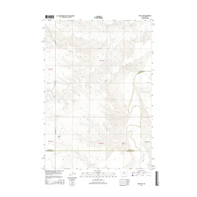
2015 Map of Wasta NW
USGS Topo · Published 2015About this map
The Cheyenne River carves a winding path through the eastern portion of this West River landscape, defining the topography alongside significant drainage systems like Elk Cr and Alkali Cr. This 2015 survey illustrates a sparsely populated region on the border of Meade and Pennington counties, where the land is marked by deep topographic relief and seasonal watercourses such as Fivemile Draw, Telegraph Draw, and Seventysix Draw. Rural transit is facilitated by a network of named local routes, including Elm Springs Rd and Trask Rd, which follow the high ground and natural contours between the river breaks. The map provides a clear look at the Public Land Survey System township and range divisions, showing the enduring grid of T3N R14E and T2N R14E over this ranching and grazing country.
Find a feature on this map
17 named features on this map. Tap any name to fly to it.
Don’t see what you’re looking for? This feature index may not catch every label — zoom into the map to look around manually.
Map Details
Editions of this 2015 Wasta NW Map
This is the sole edition of this map. No revisions or reprints were ever made.
Other maps of this area

1953 · Rapid City
USGS Topo · 1:250,000

1954 · Dalzell SE
USGS Topo · 1:24,000

1954 · Wasta NE
USGS Topo · 1:24,000

1954 · Wasta SE
USGS Topo · 1:24,000

1954 · Dalzell
USGS Topo · 1:24,000

1954 · Wasta
USGS Topo · 1:24,000

1954 · Owanka
USGS Topo · 1:24,000

1954 · Wasta NW
USGS Topo · 1:24,000

1954 · Elm Springs
USGS Topo · 1:24,000

1957 · Rapid City
USGS Topo · 1:250,000