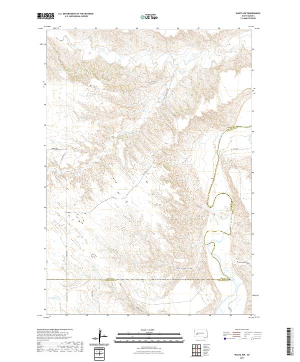
2021 Map of Wasta NW
USGS Topo · Published 2021About this map
The Cheyenne River winds through the southeastern corner of this landscape, marking a significant hydrological boundary where the Meade and Pennington County line follows its meandering course. This 2021 survey reveals a terrain defined by complex drainage systems, including the prominent Telegraph Draw and the historic-sounding Seventysix Draw to the east. Several smaller tributaries such as Elk Cr and Alkali Cr dissect the plains, illustrating the water-sculpted character of this South Dakota region.
Find a feature on this map
20 named features on this map. Tap any name to fly to it.
Don’t see what you’re looking for? This feature index may not catch every label — zoom into the map to look around manually.
Map Details
Editions of this 2021 Wasta NW Map
This is the sole edition of this map. No revisions or reprints were ever made.
Other maps of this area

1953 · Rapid City
USGS Topo · 1:250,000

1954 · Dalzell SE
USGS Topo · 1:24,000

1954 · Wasta NE
USGS Topo · 1:24,000

1954 · Wasta SE
USGS Topo · 1:24,000

1954 · Dalzell
USGS Topo · 1:24,000

1954 · Wasta
USGS Topo · 1:24,000

1954 · Owanka
USGS Topo · 1:24,000

1954 · Wasta NW
USGS Topo · 1:24,000

1954 · Elm Springs
USGS Topo · 1:24,000

1957 · Rapid City
USGS Topo · 1:250,000