
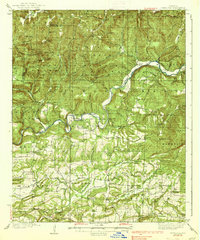
1939 Map of Watalula
USGS Topo · Published 1939About this map
Watalula Mountain and the deep winding course of the Mulberry River dominate this 1930s landscape across the Crawford and Franklin county line. The map captures a transition from the high ridges of the Boston Mountains down to the creek-fed valleys where rural life centered on small post offices and community institutions. Significant historical features include the early transit route known as the Wire Road and a diverse network of neighborhood anchors like Cravens Church, Gar Creek Church, and several remote schools such as Mineral Hill School and Lone Oak School.
Find a feature on this map
133 named features on this map. Tap any name to fly to it.
Don’t see what you’re looking for? This feature index may not catch every label — zoom into the map to look around manually.
Map Details
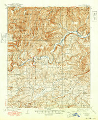
Editions of this 1939 Watalula Map
3 editions found
Other maps of this area

1879 · Cravens
USGS Topo · 1:62,500

1887 · Magazine Mountain #1
USGS Topo · 1:62,500

1887 · Magazine Mountain #2
USGS Topo · 1:62,500

1887 · Watalula
USGS Topo · 1:62,500

1887 · Magazine Mountain
USGS Topo · 1:62,500

1890 · Magazine Mountain
USGS Topo · 1:125,000

1890 · Fort Smith
USGS Topo · 1:125,000

1898 · Winslow #4
USGS Topo · 1:62,500

1898 · Winslow
USGS Topo · 1:125,000

1901 · Winslow
USGS Topo · 1:125,000