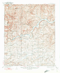
1939 Map of Watalula
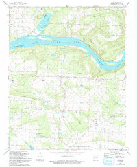
USGS Topo · Published 1939This historical map portrays the area of Watalula in 1939, primarily covering Franklin County as well as portions of Crawford County. Featuring a scale of 1:62500, this map provides a highly detailed snapshot of the terrain, roads, buildings, counties, and historical landmarks in the Watalula region at the time. Published in 1939, it is one of 3 known editions of this map due to revisions or reprints.
Find a feature on this map
133 named features on this map. Tap any name to fly to it.
Don’t see what you’re looking for? This feature index may not catch every label — zoom into the map to look around manually.
Map Details
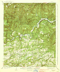
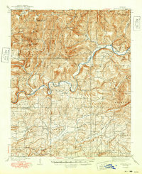
Editions of this 1939 Watalula Map
3 editions found
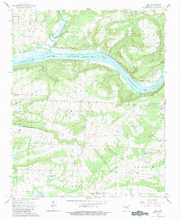
Historical Maps of Mountain Grove Through Time
10 maps found

1879 Cravens
Franklin County, AR

1887 Magazine Mountain #2
Franklin County, AR

1887 Watalula
Franklin County, AR
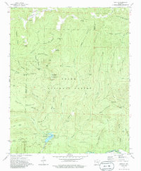
1939 Watalula
Franklin County, AR
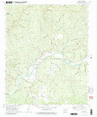
1965 Cecil
Franklin County, AR
1973 Bidville
Franklin County, AR
1973 Cass
Franklin County, AR
1973 Cravens
Franklin County, AR
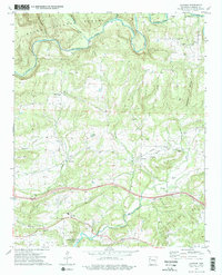
1973 Watalula
Franklin County, AR
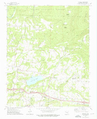
1993 Cecil
Franklin County, AR