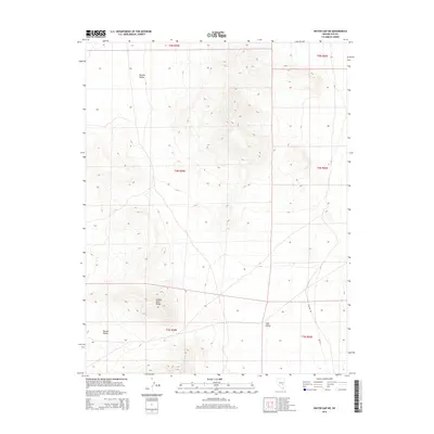
2014 Map of Water Gap NE
USGS Topo · Published 2014About this map
Golden Gate Range dominates the central topography of this Nevada quadrangle, forming a significant divide between two high-elevation basins. To the west lies the broad expanse of Garden Valley, while to the southeast, the terrain transitions into Coal Valley. The landscape is largely defined by this high-desert basin and range structure, with the mountain peaks providing a stark contrast to the surrounding valley floors. Human infrastructure is notably sparse in this 2014 survey, primarily represented by Willow Rd cutting through the southeastern corner. The map documents the vast, open character of Nye County, highlighting the natural landforms that dictate the geography of this part of the state without the interference of major modern settlements.
Find a feature on this map
10 named features on this map. Tap any name to fly to it.
Don’t see what you’re looking for? This feature index may not catch every label — zoom into the map to look around manually.
Map Details
Editions of this 2014 Water Gap NE Map
This is the sole edition of this map. No revisions or reprints were ever made.
Other maps of this area

1956 · Lund
USGS Topo · 1:250,000

1960 · Lund
USGS Topo · 1:250,000

1964 · Forest Home
USGS Topo · 1:62,500

1969 · Hot Creek Butte
USGS Topo · 1:24,000
1971 · Timber Mtn Pass NW
USGS Topo · 1:24,000
1971 · Timber Mtn Pass West
USGS Topo · 1:24,000

1985 · Water Gap East
USGS Topo · 1:24,000
1985 · Water Gap NW
USGS Topo · 1:24,000
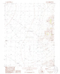
1985 · Water Gap West
USGS Topo · 1:24,000
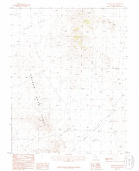
1985 · Water Gap NE
USGS Topo · 1:24,000