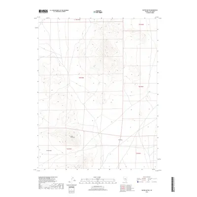
2018 Map of Water Gap NE
USGS Topo · Published 2018About this map
Golden Gate Range serves as the central topographic divide on this high-desert sheet in Nye County, Nevada. The high mountain ridge separates the expansive Garden Valley to the west from the lower elevations of Coal Valley to the east. This 2018 survey illustrates the austere landscape of the Great Basin, where wide alluvial basins are framed by sharp, north-south oriented fault-block ranges. The mapping reflects the enduring isolation of this region, defined by vast stretches of open terrain and the absence of established settlements or major infrastructure. Instead, the map detail focuses on the natural contours and public land survey system lines that define this section of the Nevada desert.
Find a feature on this map
9 named features on this map. Tap any name to fly to it.
Don’t see what you’re looking for? This feature index may not catch every label — zoom into the map to look around manually.
Map Details
Editions of this 2018 Water Gap NE Map
This is the sole edition of this map. No revisions or reprints were ever made.
Other maps of this area

1956 · Lund
USGS Topo · 1:250,000

1960 · Lund
USGS Topo · 1:250,000

1964 · Forest Home
USGS Topo · 1:62,500

1969 · Hot Creek Butte
USGS Topo · 1:24,000
1971 · Timber Mtn Pass NW
USGS Topo · 1:24,000
1971 · Timber Mtn Pass West
USGS Topo · 1:24,000

1985 · Water Gap East
USGS Topo · 1:24,000
1985 · Water Gap NW
USGS Topo · 1:24,000
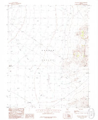
1985 · Water Gap West
USGS Topo · 1:24,000
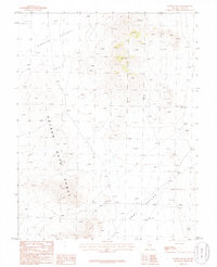
1985 · Water Gap NE
USGS Topo · 1:24,000