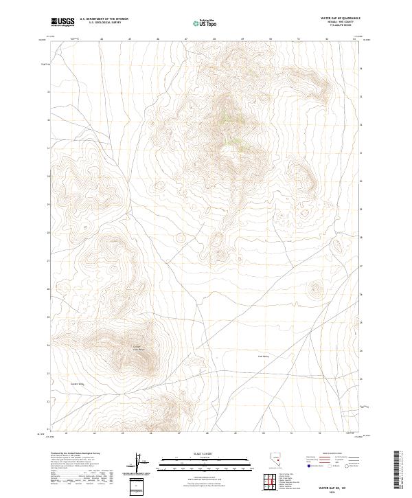
2021 Map of Water Gap NE
USGS Topo · Published 2021About this map
Golden Gate Range dominates the central landscape of this Nye County quadrangle, forming a prominent topographical spine between two significant basins. To the west lies the broad expanse of Garden Valley, while the eastern portion of the map is defined by the reaches of Coal Valley. This modern survey illustrates the typical Great Basin pattern of north-south trending mountain blocks separated by wide, high-altitude desert valleys. The map is meticulously organized according to the Public Land Survey System, showing several townships including t4n r59e and t3n r60e. While few man-made landmarks appear, the document provides a precise record of the natural terrain and elevation contours that define this arid interior region of Nevada.
Find a feature on this map
9 named features on this map. Tap any name to fly to it.
Don’t see what you’re looking for? This feature index may not catch every label — zoom into the map to look around manually.
Map Details
Editions of this 2021 Water Gap NE Map
This is the sole edition of this map. No revisions or reprints were ever made.
Other maps of this area

1956 · Lund
USGS Topo · 1:250,000

1960 · Lund
USGS Topo · 1:250,000

1964 · Forest Home
USGS Topo · 1:62,500

1969 · Hot Creek Butte
USGS Topo · 1:24,000
1971 · Timber Mtn Pass NW
USGS Topo · 1:24,000
1971 · Timber Mtn Pass West
USGS Topo · 1:24,000

1985 · Water Gap East
USGS Topo · 1:24,000
1985 · Water Gap NW
USGS Topo · 1:24,000
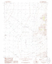
1985 · Water Gap West
USGS Topo · 1:24,000
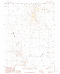
1985 · Water Gap NE
USGS Topo · 1:24,000