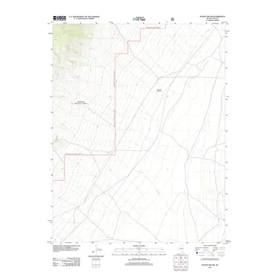
2012 Map of Water Gap NW
USGS Topo · Published 2012About this map
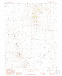
Rimrock Canyon defines the central topography of this high-desert landscape in Nye County, where seasonal drainage patterns dominate the terrain. The intermittent flow of Spring Cr and the prominent Dry Wash suggest a high-elevation arid environment where water is an occasional but shaping force. Navigation through this remote section of the Great Basin is facilitated by a network of primitive access routes, most notably Forest Rd 410, which winds through the southern and central sections. This survey provides a specialized view of federal land management, particularly within areas overseen by the Forest Service, where the lack of permanent settlements emphasizes the region's character as a frontier for range management and wilderness recreation.
Find a feature on this map
4 named features on this map. Tap any name to fly to it.
Don’t see what you’re looking for? This feature index may not catch every label — zoom into the map to look around manually.
Map Details
Editions of this 2012 Water Gap NW Map
This is the sole edition of this map. No revisions or reprints were ever made.
Other maps of this area

1956 · Lund
USGS Topo · 1:250,000

1960 · Lund
USGS Topo · 1:250,000

1964 · Troy Canyon
USGS Topo · 1:62,500

1964 · Forest Home
USGS Topo · 1:62,500

1985 · Adaven
USGS Topo · 1:24,000

1985 · Water Gap East
USGS Topo · 1:24,000
1985 · Wadsworth Ranch
USGS Topo · 1:24,000
1985 · Water Gap NW
USGS Topo · 1:24,000
1985 · Water Gap West
USGS Topo · 1:24,000
1985 · Water Gap NE
USGS Topo · 1:24,000