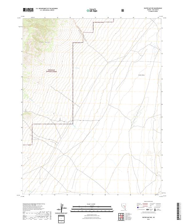
2021 Map of Water Gap NW
USGS Topo · Published 2021About this map
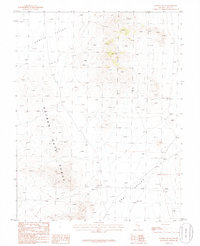
The high slopes of the Grant Range dominate the northwestern corner of this landscape within the Humboldt National Forest. This terrain is defined by dramatic elevation changes, where seasonal drainages like Spring Cr and Bruno Cr descend from the peaks toward the alluvial fans of the desert floor. The eastern portion of the quadrangle opens into the broad expanse of Garden Valley, characterized by more gradual slopes and intermittent water features such as Dry Wash.
Find a feature on this map
14 named features on this map. Tap any name to fly to it.
Don’t see what you’re looking for? This feature index may not catch every label — zoom into the map to look around manually.
Map Details
Editions of this 2021 Water Gap NW Map
This is the sole edition of this map. No revisions or reprints were ever made.
Other maps of this area

1956 · Lund
USGS Topo · 1:250,000

1960 · Lund
USGS Topo · 1:250,000

1964 · Troy Canyon
USGS Topo · 1:62,500

1964 · Forest Home
USGS Topo · 1:62,500

1985 · Adaven
USGS Topo · 1:24,000

1985 · Water Gap East
USGS Topo · 1:24,000
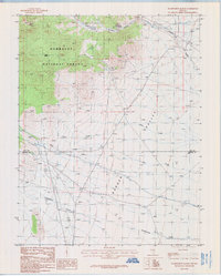
1985 · Wadsworth Ranch
USGS Topo · 1:24,000
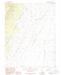
1985 · Water Gap NW
USGS Topo · 1:24,000
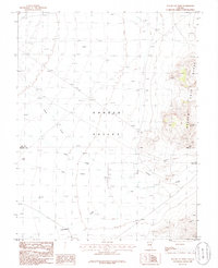
1985 · Water Gap West
USGS Topo · 1:24,000
1985 · Water Gap NE
USGS Topo · 1:24,000