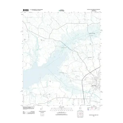
2012 Map of Water Valley West
USGS Topo · Published 2012About this map
The Yocona River valley defines this region of Yalobusha County, dominated by the expansive waters of Enid Lake. This 2012 survey illustrates the relationship between the natural wetlands and the modern infrastructure surrounding the city of Water Valley. Notable for its high density of family and community burial grounds, the map documents several historic sites including Big Springs Cem, Pine Spring Cem, and Austin Cem, providing essential data for local genealogical research.
Find a feature on this map
115 named features on this map. Tap any name to fly to it.
Don’t see what you’re looking for? This feature index may not catch every label — zoom into the map to look around manually.
Map Details
Editions of this 2012 Water Valley West Map
This is the sole edition of this map. No revisions or reprints were ever made.
Other maps of this area

1940 · Oxford
USGS Topo · 1:62,500

1943 · Oxford
USGS Topo · 1:62,500

1952 · Sardis
USGS Topo · 1:62,500

1953 · Sardis
USGS Topo · 1:62,500

1954 · Oakland
USGS Topo · 1:62,500

1954 · Water Valley
USGS Topo · 1:62,500

1954 · Water Valley West
USGS Topo · 1:24,000

1955 · Water Valley
USGS Topo · 1:62,500

1956 · Tupelo
USGS Topo · 1:250,000

1958 · Tupelo
USGS Topo · 1:250,000