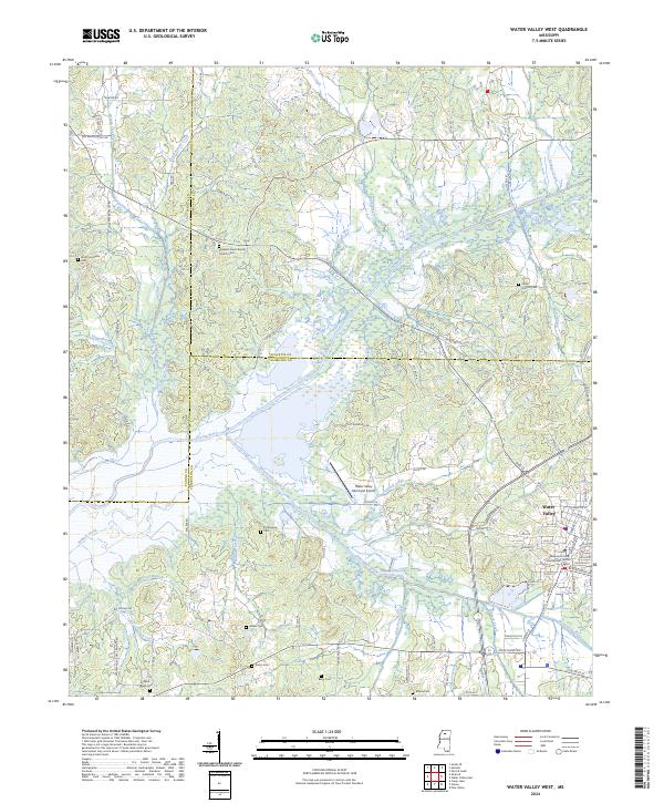
2024 Map of Water Valley West
USGS Topo · Published 2024About this map
Water Valley serves as the focal point for this survey, situated at the confluence of several major creek systems including Otoucalofa Creek and Swindell Creek. The town's grid reflects its role as a local hub, anchored by the Yalobusha County Courthouse and supported by the Water Valley Municipal Airport. The surrounding landscape is defined by the broad floodplain of the Yocona River, where seasonal wetlands and meandering water bodies like Flowers Creek and North Bynum Creek dictate the layout of the rural road network.
Find a feature on this map
106 named features on this map. Tap any name to fly to it.
Don’t see what you’re looking for? This feature index may not catch every label — zoom into the map to look around manually.
Map Details
Editions of this 2024 Water Valley West Map
This is the sole edition of this map. No revisions or reprints were ever made.
Other maps of this area

1940 · Oxford
USGS Topo · 1:62,500

1943 · Oxford
USGS Topo · 1:62,500

1952 · Sardis
USGS Topo · 1:62,500

1953 · Sardis
USGS Topo · 1:62,500

1954 · Oakland
USGS Topo · 1:62,500

1954 · Water Valley
USGS Topo · 1:62,500

1954 · Water Valley West
USGS Topo · 1:24,000

1955 · Water Valley
USGS Topo · 1:62,500

1956 · Tupelo
USGS Topo · 1:250,000

1958 · Tupelo
USGS Topo · 1:250,000