
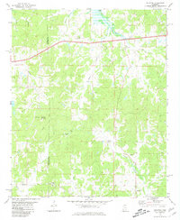
1954 Map of Water Valley West
USGS Topo · Published 1980About this map
Water Valley serves as the primary hub for this portion of Mississippi, where the landscape transitions from the river lowlands to the managed shoreline of Enid Lake. The town's grid is characterized by essential community infrastructure, including a hospital, a courthouse, and the nearby Water Valley Municipal Airport. To the west, the Bynum Creek Recreation Area highlights the mid-century development of the reservoir system on the Yocona River.
Find a feature on this map
38 named features on this map. Tap any name to fly to it.
Don’t see what you’re looking for? This feature index may not catch every label — zoom into the map to look around manually.
Map Details
Editions of this 1954 Water Valley West Map
This is the sole edition of this map. No revisions or reprints were ever made.
Other maps of this area

1940 · Oxford
USGS Topo · 1:62,500

1943 · Oxford
USGS Topo · 1:62,500

1952 · Sardis
USGS Topo · 1:62,500

1953 · Sardis
USGS Topo · 1:62,500

1954 · Oakland
USGS Topo · 1:62,500

1954 · Water Valley
USGS Topo · 1:62,500

1955 · Water Valley
USGS Topo · 1:62,500

1956 · Tupelo
USGS Topo · 1:250,000

1958 · Tupelo
USGS Topo · 1:250,000
1980 · Splinter
USGS Topo · 1:24,000