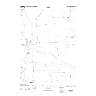
2013 Map of Waterford
USGS Topo · Published 2013About this map
Waterford serves as the primary hub of this Erie County landscape, situated at the junction of several historic thoroughfares and the waters of LeBoeuf Lake. The settlement patterns here are defined by the winding course of French Cr and its many tributaries, including LeBoeuf Cr and Honey Bee Cr. Smaller hamlets and named locales like Mill Village, LeBoeuf Garden, and New Ireland are connected by a network of rural roads such as Old State Rd and Niemeyer Rd, illustrating the transition from concentrated village centers to the surrounding agricultural and wooded terrain. Significant elevations like Oak Hill rise above the drainage basins of Wheeler Cr and Horton Run. The arrangement of these places suggests a long-standing reliance on the local waterways and the early road system for commerce and communication within the county.
Find a feature on this map
112 named features on this map. Tap any name to fly to it.
Don’t see what you’re looking for? This feature index may not catch every label — zoom into the map to look around manually.
Map Details
Editions of this 2013 Waterford Map
This is the sole edition of this map. No revisions or reprints were ever made.
Other maps of this area

1899 · Erie
USGS Topo · 1:62,500

1900 · Erie
USGS Topo · 1:62,500

1913 · North East
USGS Topo · 1:62,500

1915 · North East
USGS Topo · 1:62,500

1923 · Cambridge Springs
USGS Topo · 1:62,500

1925 · Cambridge Springs
USGS Topo · 1:62,500

1929 · Union City
USGS Topo · 1:62,500

1932 · Union City
USGS Topo · 1:62,500

1943 · North East
USGS Topo · 1:62,500

1943 · Cambridge Springs
USGS Topo · 1:62,500