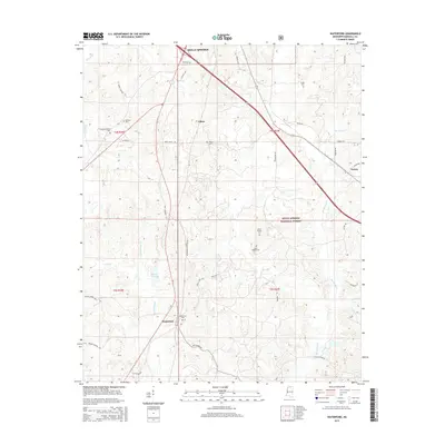
2015 Map of Waterford
USGS Topo · Published 2015About this map
Waterford serves as a central hub in this Southern landscape, situated at the crossroads of Old Highway 7 S and Bethlehem Rd. The area is defined by its deep spiritual and communal roots, evidenced by numerous historical burial grounds such as Sauls Chapel Cem and Mount Teamor Cem. To the north, the terrain reaches the outskirts of Holly Springs, while the eastern portion of the map is dominated by the protected lands of the Holly Springs National Forest.
Find a feature on this map
45 named features on this map. Tap any name to fly to it.
Don’t see what you’re looking for? This feature index may not catch every label — zoom into the map to look around manually.
Map Details
Editions of this 2015 Waterford Map
This is the sole edition of this map. No revisions or reprints were ever made.
Other maps of this area

1944 · Tyro
USGS Topo · 1:62,500

1944 · Potts Camp
USGS Topo · 1:62,500

1945 · Potts Camp
USGS Topo · 1:62,500

1948 · Byhalia
USGS Topo · 1:62,500

1953 · Holly Springs
USGS Topo · 1:62,500

1956 · Tupelo
USGS Topo · 1:250,000

1958 · Tupelo
USGS Topo · 1:250,000

1964 · Waterford
USGS Topo · 1:24,000

1964 · Holly Springs SE
USGS Topo · 1:24,000
1965 · Holly Springs
USGS Topo · 1:24,000