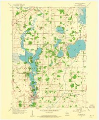
1959 Map of Waterford
USGS Topo · Published 1960About this map
The Fox River carves a winding path through the heart of the Wisconsin landscape, anchoring a network of glacial lakes and mid-century rural communities. This 1959 survey documents the expansion of Waterford along the river's banks, highlighting the transition from purely agricultural land to a region of localized lakeside development at Tichigan Lake and Wind Lake. The map reveals a dense distribution of rural education hubs, including the Washington Sch and Colonel Heg Sch, alongside traditional burial grounds such as St Peters Cem and Rural Home Cem.
Find a feature on this map
36 named features on this map. Tap any name to fly to it.
Don’t see what you’re looking for? This feature index may not catch every label — zoom into the map to look around manually.
Map Details
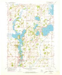
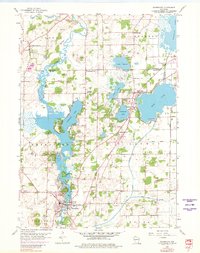
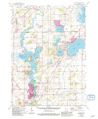
Editions of this 1959 Waterford Map
4 editions found
Other maps of this area

1891 · Muskego
USGS Topo · 1:62,500

1892 · Eagle
USGS Topo · 1:62,500

1893 · Silver Lake
USGS Topo · 1:62,500

1893 · Geneva
USGS Topo · 1:62,500

1894 · Eagle
USGS Topo · 1:62,500

1897 · Eagle
USGS Topo · 1:62,500

1901 · Muskego
USGS Topo · 1:62,500

1904 · Lake Geneva
USGS Topo · 1:62,500

1906 · Eagle
USGS Topo · 1:62,500

1906 · Silver Lake
USGS Topo · 1:62,500