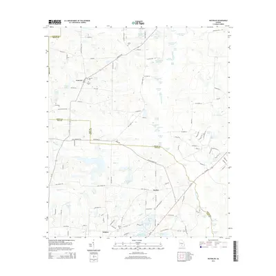
2014 Map of Waterloo
USGS Topo · Published 2014About this map
Waterloo and Harding anchor this agricultural region along the border of Irwin and Tift Counties. The landscape is defined by an intricate network of waterways, most notably the Alapaha River which winds through the eastern portion of the map, fed by numerous small creeks like Sand Cr and Hat Cr. The area is densely dotted with named lakes and ponds, including Bisbin Lake, Graveyard Lake, and Redbug Lake, illustrating the wetlands characteristic of the Georgia coastal plain.
Find a feature on this map
125 named features on this map. Tap any name to fly to it.
Don’t see what you’re looking for? This feature index may not catch every label — zoom into the map to look around manually.
Map Details
Editions of this 2014 Waterloo Map
This is the sole edition of this map. No revisions or reprints were ever made.
Other maps of this area

1953 · Waycross
USGS Topo · 1:250,000

1958 · Waycross
USGS Topo · 1:250,000

1973 · Ocilla West
USGS Topo · 1:24,000

1973 · Waterloo
USGS Topo · 1:24,000

1973 · Irwinville
USGS Topo · 1:24,000

1973 · Enigma
USGS Topo · 1:24,000

1973 · Chula
USGS Topo · 1:24,000

1973 · Tifton East
USGS Topo · 1:24,000

1973 · Tifton West
USGS Topo · 1:24,000

1973 · Bethel
USGS Topo · 1:24,000