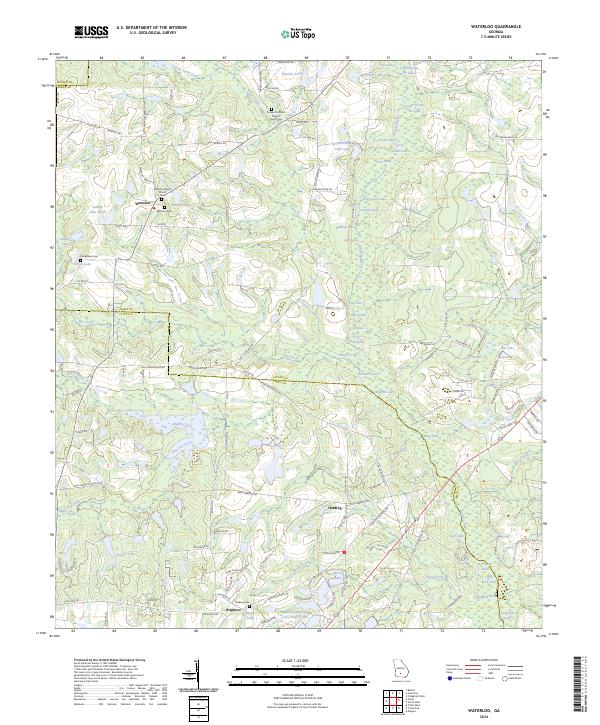
2024 Map of Waterloo
USGS Topo · Published 2024About this map
Waterloo and the surrounding farm country of southern Georgia are defined by the winding course of the Alapaha River and its intricate network of lakes and ponds. This landscape is characterized by a high density of small water bodies like Graveyard Lake, Shikel Lake, and Mudcat Lake, suggesting a low-lying terrain where drainage patterns have shaped local land use. The map reveals a community deeply rooted in its local institutions, evidenced by the cluster of cemeteries and houses of worship such as Eureka Primitive Baptist Church and Waterloo Baptist Church.
Find a feature on this map
118 named features on this map. Tap any name to fly to it.
Don’t see what you’re looking for? This feature index may not catch every label — zoom into the map to look around manually.
Map Details
Editions of this 2024 Waterloo Map
This is the sole edition of this map. No revisions or reprints were ever made.
Other maps of this area

1953 · Waycross
USGS Topo · 1:250,000

1958 · Waycross
USGS Topo · 1:250,000

1973 · Ocilla West
USGS Topo · 1:24,000

1973 · Waterloo
USGS Topo · 1:24,000

1973 · Irwinville
USGS Topo · 1:24,000

1973 · Enigma
USGS Topo · 1:24,000

1973 · Chula
USGS Topo · 1:24,000

1973 · Tifton East
USGS Topo · 1:24,000

1973 · Tifton West
USGS Topo · 1:24,000

1973 · Bethel
USGS Topo · 1:24,000