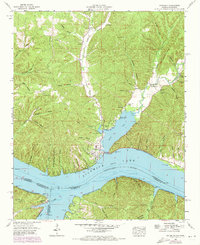
1953 Map of Waterloo
USGS Topo · Published 1973About this map
Waterloo sits at the northern confluence where Second Creek meets the wide expanse of Pickwick Lake. This 1950s landscape, later updated in 1970, reveals a riverfront shaped by the Tennessee Valley Authority and the Pickwick Reservation Boundary. Across the water in the tri-state corner of Alabama, Mississippi, and Tennessee, the small riverside settlements of Eastport and Riverton anchor the southern shore near the mouth of Bear Creek.
Find a feature on this map
69 named features on this map. Tap any name to fly to it.
Don’t see what you’re looking for? This feature index may not catch every label — zoom into the map to look around manually.
Map Details
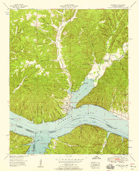
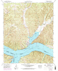
Editions of this 1953 Waterloo Map
3 editions found
Other maps of this area

1905 · Waynesboro
USGS Topo · 1:125,000

1911 · Iuka
USGS Topo · 1:48,000

1914 · Iuka
USGS Topo · 1:62,500

1924 · Gravelly Springs
USGS Topo · 1:48,000

1926 · Gravelly Springs
USGS Topo · 1:62,500

1935 · Cherokee
USGS Topo · 1:24,000

1935 · Wright
USGS Topo · 1:24,000

1935 · Iuka
USGS Topo · 1:24,000

1936 · Margerum
USGS Topo · 1:24,000

1936 · Waterloo
USGS Topo · 1:24,000