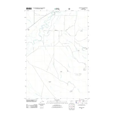
2011 Map of Waterloo
USGS Topo · Published 2011About this map
The Jefferson River meanders through the northern section of this landscape, defining a valley where the settlement of Waterloo and several namesake ranches, including Silver Bow Ranch and River Side Ranch, are established. The hydrologic network is complex, featuring irrigation and drainage works like Parrot Ditch and the winding Parsons Slough, which cross beneath Parsons Bridge. To the south and east, the terrain rises into the canyons and gulches of the highland foothills, where a history of extraction is evident.
Find a feature on this map
42 named features on this map. Tap any name to fly to it.
Don’t see what you’re looking for? This feature index may not catch every label — zoom into the map to look around manually.
Map Details
Editions of this 2011 Waterloo Map
This is the sole edition of this map. No revisions or reprints were ever made.
Other maps of this area

1893 · Dillon
USGS Topo · 1:250,000

1955 · Dillon
USGS Topo · 1:250,000

1957 · Dillon
USGS Topo · 1:250,000

1958 · Dillon
USGS Topo · 1:250,000

1960 · Twin Bridges
USGS Topo · 1:62,500

1960 · Waterloo
USGS Topo · 1:62,500

1962 · Dillon
USGS Topo · 1:250,000
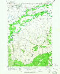
1963 · Whitehall
USGS Topo · 1:24,000

1963 · Vendome
USGS Topo · 1:24,000
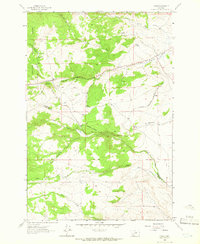
1963 · Grace
USGS Topo · 1:24,000