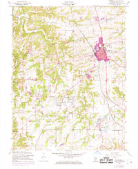
1954 Map of Waterloo
USGS Topo · Published 1969About this map
The city of Waterloo serves as the focal point of this Monroe County landscape, showing significant urban expansion by the late 1960s. The Gulf Mobile and Ohio railroad corridor provides a distinct industrial axis, while the surrounding countryside preserves a dense network of nineteenth-century social institutions. Small rural hubs like Wartburg and Madonnaville are anchored by landmarks such as Holy Cross Sch and Salem Ch, illustrating the tight-knit settlement patterns of the Illinois uplands. The terrain is defined by the winding course of Fountain Creek and several distinct clusters of sinkhole ponds and small lakes, including Foster Pond and Twin Lakes. This survey captures the transition from a purely agrarian environment to a more connected regional center, as evidenced by the development of Dugan Airfield and the growth of suburban footprints around the traditional town core.
Find a feature on this map
32 named features on this map. Tap any name to fly to it.
Don’t see what you’re looking for? This feature index may not catch every label — zoom into the map to look around manually.
Map Details
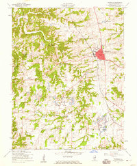
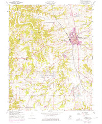
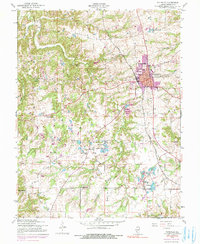
Editions of this 1954 Waterloo Map
4 editions found
Other maps of this area

1910 · Waterloo
USGS Topo · 1:62,500

1912 · Kimmswick
USGS Topo · 1:62,500

1913 · Waterloo
USGS Topo · 1:62,500

1915 · Renault
USGS Topo · 1:62,500

1915 · Crystal City
USGS Topo · 1:62,500

1916 · Kimmswick
USGS Topo · 1:62,500

1940 · Renault
USGS Topo · 1:62,500

1948 · Kimmswick
USGS Topo · 1:62,500

1949 · Saint Louis
USGS Topo · 1:250,000

1949 · Crystal City
USGS Topo · 1:62,500