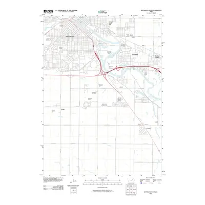
2010 Map of Waterloo South
USGS Topo · Published 2010About this map
The Cedar River serves as the central spine for this 2010 depiction of South Waterloo and its surrounding communities. The landscape is a study in diverse land use, ranging from the industrial and residential grid of Waterloo and Evansdale to the more open, agricultural stretches toward Washburn. Genealogists will find a wealth of records in the numerous burial grounds documented, including Calvary Cemetery, Sons of Jacob Cemetery, and the Orange Township Cemetery.
Find a feature on this map
67 named features on this map. Tap any name to fly to it.
Don’t see what you’re looking for? This feature index may not catch every label — zoom into the map to look around manually.
Map Details
Editions of this 2010 Waterloo South Map
This is the sole edition of this map. No revisions or reprints were ever made.
Other maps of this area

1954 · Waterloo
USGS Topo · 1:250,000

1955 · Waterloo
USGS Topo · 1:250,000

1963 · Buckingham
USGS Topo · 1:24,000

1963 · Hudson
USGS Topo · 1:24,000

1963 · Waterloo South
USGS Topo · 1:24,000

1963 · Eagle Center
USGS Topo · 1:24,000

1963 · Cedar Falls
USGS Topo · 1:24,000

1963 · Waterloo North
USGS Topo · 1:24,000

1971 · Gilbertville
USGS Topo · 1:24,000

1971 · La Porte City
USGS Topo · 1:24,000