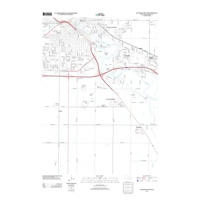
2013 Map of Waterloo South
USGS Topo · Published 2013About this map
The Cedar River corridor and its surrounding industrial and agricultural landscapes are meticulously documented in this 2013 survey of Black Hawk County. In the north, the industrial character of Waterloo is evident near the Silos and Smokestacks National Heritage Area, while the river itself supports recreational landmarks like Meyers Lake and Hanson Lake. The map illustrates the suburban expansion of Evansdale and Elk Run Heights as they developed along the riverbanks.
Find a feature on this map
95 named features on this map. Tap any name to fly to it.
Don’t see what you’re looking for? This feature index may not catch every label — zoom into the map to look around manually.
Map Details
Editions of this 2013 Waterloo South Map
This is the sole edition of this map. No revisions or reprints were ever made.
Other maps of this area

1954 · Waterloo
USGS Topo · 1:250,000

1955 · Waterloo
USGS Topo · 1:250,000

1963 · Buckingham
USGS Topo · 1:24,000

1963 · Hudson
USGS Topo · 1:24,000

1963 · Waterloo South
USGS Topo · 1:24,000

1963 · Eagle Center
USGS Topo · 1:24,000

1963 · Cedar Falls
USGS Topo · 1:24,000

1963 · Waterloo North
USGS Topo · 1:24,000

1971 · Gilbertville
USGS Topo · 1:24,000

1971 · La Porte City
USGS Topo · 1:24,000