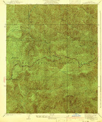
1941 Map of Waterman Mtn
USGS Topo · Published 1941About this map
The San Gabriel Mountains dominate this 1941 survey, showing a landscape defined by high peaks and deep canyons within the Angeles National Forest. The newly emerging Angeles Crest Highway snakes along the ridges, providing access to remote locations like Newcomb Ranch and Squaw Camp. This survey captures the transition of the high country into a recreation and transit corridor, even as it notes a Road Under Construction at the eastern edge near Kratka Ridge.
Find a feature on this map
21 named features on this map. Tap any name to fly to it.
Don’t see what you’re looking for? This feature index may not catch every label — zoom into the map to look around manually.
Map Details
Editions of this 1941 Waterman Mtn Map
2 editions found
Other maps of this area

1900 · Tujunga
USGS Topo · 1:62,500

1901 · Southern California Sheet No. 1
USGS Topo · 1:250,000

1903 · Rock Creek
USGS Topo · 1:62,500

1904 · Southern California Sheet No. 1
USGS Topo · 1:250,000
1934 · Cima Mesa
USGS Topo · 1:24,000
1934 · Mt. Wilson
USGS Topo · 1:24,000
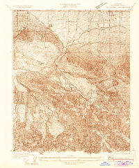
1934 · Valyermo
USGS Topo · 1:24,000
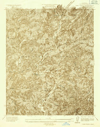
1934 · Camp Rincon
USGS Topo · 1:24,000

1934 · Chileno Canyon
USGS Topo · 1:24,000

1935 · Mt. Emma
USGS Topo · 1:24,000