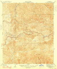
1941 Map of Waterman Mtn
USGS Topo · Published 1948About this map
The Angeles Crest Highway snakes through the high country of the San Gabriel Mountains in this 1940s survey. This portion of the Angeles National Forest represents a transitional era for mountain recreation, where early settlements and campsites like Squaw Camp and Valcrest are shown alongside the developing infrastructure of the highway. The map illustrates the complex drainage systems of the region, featuring the headwaters of Little Rock Creek flowing north and the steep descent of Devils Canyon to the south.
Find a feature on this map
23 named features on this map. Tap any name to fly to it.
Don’t see what you’re looking for? This feature index may not catch every label — zoom into the map to look around manually.
Map Details
Editions of this 1941 Waterman Mtn Map
2 editions found
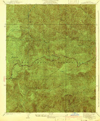
Other maps of this area

1900 · Tujunga
USGS Topo · 1:62,500

1901 · Southern California Sheet No. 1
USGS Topo · 1:250,000

1903 · Rock Creek
USGS Topo · 1:62,500

1904 · Southern California Sheet No. 1
USGS Topo · 1:250,000
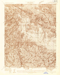
1934 · Cima Mesa
USGS Topo · 1:24,000
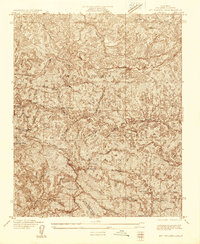
1934 · Mt. Wilson
USGS Topo · 1:24,000
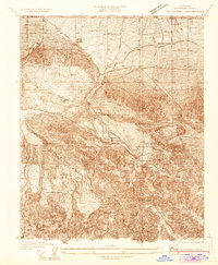
1934 · Valyermo
USGS Topo · 1:24,000
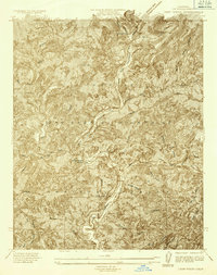
1934 · Camp Rincon
USGS Topo · 1:24,000

1934 · Chileno Canyon
USGS Topo · 1:24,000

1935 · Mt. Emma
USGS Topo · 1:24,000