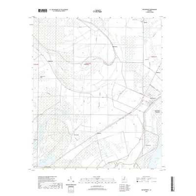
2020 Map of Waterproof
USGS Topo · Published 2020About this map
Waterproof sits along the western edge of the Mississippi River, its street grid reflecting a historic proximity to the water that defined the development of Tensas Parish. The landscape is a network of backwater bayous and old river channels, including Big Choctaw Bayou and Buffalo Bayou, which wind through the alluvial plain. The town itself is organized around a core including Main St and Tensas Ave, while the surrounding countryside is dotted with small agricultural settlements like Highland, Goldman, and Barcelona.
Find a feature on this map
62 named features on this map. Tap any name to fly to it.
Don’t see what you’re looking for? This feature index may not catch every label — zoom into the map to look around manually.
Map Details
Editions of this 2020 Waterproof Map
This is the sole edition of this map. No revisions or reprints were ever made.
Other maps of this area

1909 · Delta Bridge
USGS Topo · 1:24,000

1921 · Natchez
USGS Topo · 1:48,000

1922 · Natchez
USGS Topo · 1:62,500

1939 · Red Gum
USGS Topo · 1:62,500

1939 · Natchez
USGS Topo · 1:62,500

1939 · Locust Ridge
USGS Topo · 1:62,500

1941 · Sicily Island
USGS Topo · 1:62,500

1953 · Natchez
USGS Topo · 1:250,000

1956 · Natchez
USGS Topo · 1:250,000

1957 · Sicily Island
USGS Topo · 1:62,500