2024 Map of Waterproof
USGS Topo · Published 2024About this map
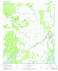
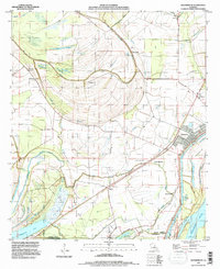
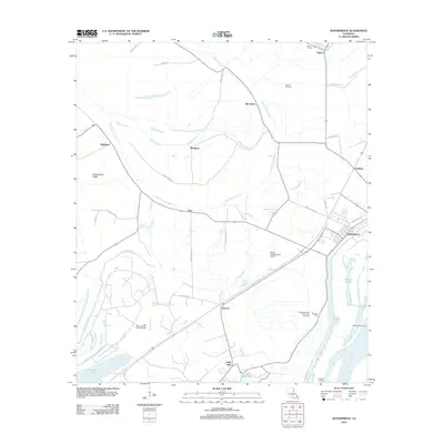
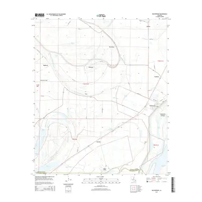
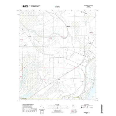
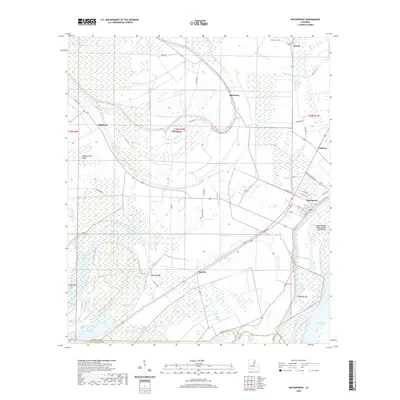
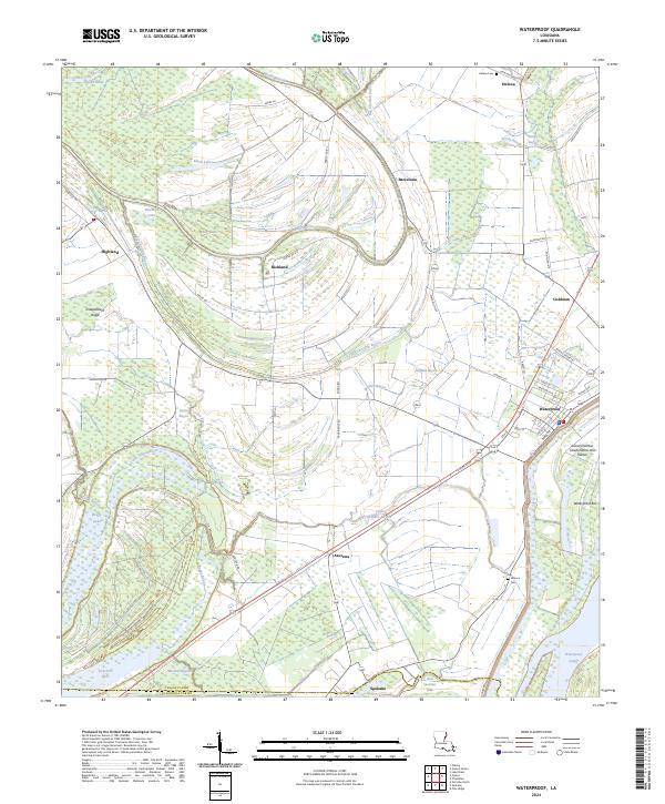
The town of Waterproof serves as the focal point of this Mississippi River delta landscape, situated near the boundary of Tensas Parish and Concordia Parish. The topography is defined by complex hydrography, where the Mississippi River has left a legacy of oxbows and secondary channels like Big Choctaw Bayou, Little Tensas River, and Muddy Bayou. Notable settlements such as Helena, Goldman, and Azucena are connected by a network of rural roads that navigate the low-lying terrain, including Azucena Rd and Church Ln. Local history is anchored by sites like Winona Cem and Helena Cem. The transition from river to land is marked by features such as Island Number Onehundred and Twelve and the Waterproof Cutoff, illustrating the dynamic nature of this alluvial environment and its influence on local settlement patterns.
Find a feature on this map
67 named features on this map. Tap any name to fly to it.
Don’t see what you’re looking for? This feature index may not catch every label — zoom into the map to look around manually.
Map Details
Editions of this 2024 Waterproof Map
This is the sole edition of this map. No revisions or reprints were ever made.
Historical Maps of Waterproof Through Time
7 maps found