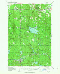
1952 Map of Watersmeet
USGS Topo · Published 1963About this map
The Middle Branch Ontonagon River and its complex network of tributaries define this section of the Ottawa National Forest during the early 1950s. At the southern edge of the map, the junction of the Chicago and North Western railroad and local timber routes centers on Watersmeet, which features a prominent Radio Tower. To the north, the massive Bond Falls Flowage dominates the landscape, created to manage water for power and logging interests. Small settlements like Trout Creek and Agate reflect the region's reliance on the rails, while local history is preserved at the Maple Grove Cem and Maple Grove Sch. The presence of numerous Gravel Pits and named water bodies such as Behlow Lake and Barclay Lake indicates an area deeply shaped by both natural glacial topography and the industrial needs of the era.
Find a feature on this map
75 named features on this map. Tap any name to fly to it.
Don’t see what you’re looking for? This feature index may not catch every label — zoom into the map to look around manually.
Map Details
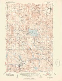
Editions of this 1952 Watersmeet Map
5 editions found
Other maps of this area

1938 · Phelps
USGS Topo · 1:48,000

1946 · Star Lake
USGS Topo · 1:48,000

1949 · Rockland
USGS Topo · 1:62,500

1950 · Phelps
USGS Topo · 1:48,000

1950 · Star Lake
USGS Topo · 1:48,000

1951 · Rockland
USGS Topo · 1:62,500

1952 · Watersmeet
USGS Topo · 1:62,500

1952 · Thayer
USGS Topo · 1:62,500

1954 · Rousseau
USGS Topo · 1:62,500

1954 · Kenton
USGS Topo · 1:62,500