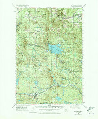
1952 Map of Watersmeet
USGS Topo · Published 1973About this map
The Ottawa National Forest in the mid-century is dominated by the sprawling Bond Falls Flowage and the junction of major rail lines that once powered the Upper Peninsula's timber and transit economy. The Chicago and North Western and the South Shore and Atlantic railroads intersect at Watersmeet, a key local hub near the Ontonagon and Gogebic county line. The landscape is characterized by its numerous water features, including Agate Falls and Mex-i-min-i Falls, alongside small settlements like Paulding and Craigsmere. Local history is preserved in the locations of the Maple Grove Sch and Maple Grove Cem, providing a clear view of the rural community structure before the modern expansion of forest roads and changes in land management.
Find a feature on this map
91 named features on this map. Tap any name to fly to it.
Don’t see what you’re looking for? This feature index may not catch every label — zoom into the map to look around manually.
Map Details
Editions of this 1952 Watersmeet Map
5 editions found
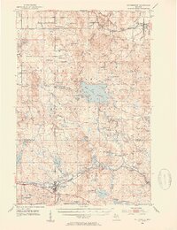
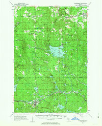
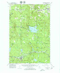
Other maps of this area

1938 · Phelps
USGS Topo · 1:48,000

1946 · Star Lake
USGS Topo · 1:48,000

1949 · Rockland
USGS Topo · 1:62,500

1950 · Phelps
USGS Topo · 1:48,000

1950 · Star Lake
USGS Topo · 1:48,000

1951 · Rockland
USGS Topo · 1:62,500

1952 · Watersmeet
USGS Topo · 1:62,500

1952 · Thayer
USGS Topo · 1:62,500

1954 · Rousseau
USGS Topo · 1:62,500

1954 · Kenton
USGS Topo · 1:62,500