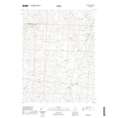
2019 Map of Watertown
USGS Topo · Published 2019About this map
Watertown and Barlow anchor this rural landscape in western Washington County, where the intricate drainages of South Branch Wolf Creek and the Little Hocking River shape the terrain. The map reflects a classic Appalachian foothills settlement pattern, with small communities like Layman and Vincent connected by a network of township roads. A notable concentration of burial grounds, including Barlow Central Cem and the North Watertown Cem, provides a detailed record of the area's ancestral geography.
Find a feature on this map
82 named features on this map. Tap any name to fly to it.
Don’t see what you’re looking for? This feature index may not catch every label — zoom into the map to look around manually.
Map Details
Editions of this 2019 Watertown Map
This is the sole edition of this map. No revisions or reprints were ever made.
Other maps of this area

1902 · Parkersburg
USGS Topo · 1:62,500

1904 · Parkersburg
USGS Topo · 1:62,500

1904 · Chesterhill
USGS Topo · 1:62,500

1906 · Chesterhill
USGS Topo · 1:62,500

1909 · Caldwell
USGS Topo · 1:62,500

1910 · Mc Connelsville
USGS Topo · 1:62,500

1912 · Caldwell
USGS Topo · 1:62,500

1949 · Clarksburg
USGS Topo · 1:250,000

1956 · Clarksburg
USGS Topo · 1:250,000
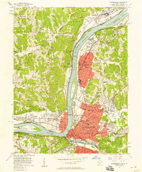
1957 · Parkersburg
USGS Topo · 1:24,000