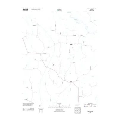
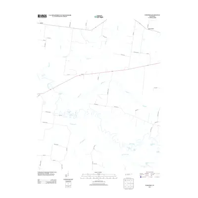
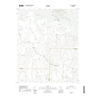
1940 Map of Waterville
USGS Topo · Published 1957About this map
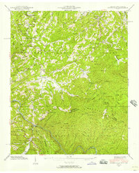
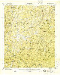
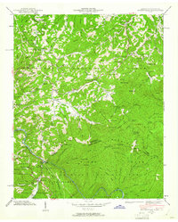
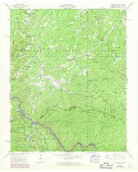
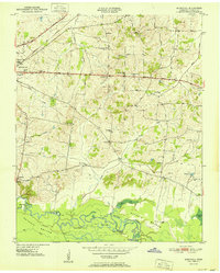
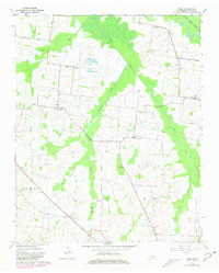
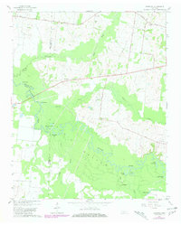
Snowbird Mountain and the high ridges of the Great Smoky Mountains National Park dominate this landscape along the border of Tennessee and North Carolina. The 1940 field examination reveals a rugged network of gaps and coves where small communities like Tom Town and Midway are tucked between steep peaks. At Waterville, a concentrated industrial footprint is evident near the Pigeon River, featuring a Power Plant and Surge Tank that highlight the era's hydroelectric development.
Find a feature on this map
116 named features on this map. Tap any name to fly to it.
Don’t see what you’re looking for? This feature index may not catch every label — zoom into the map to look around manually.
Map Details
Editions of this 1940 Waterville Map
6 editions found
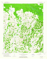
Historical Maps of Midway Through Time
39 maps found
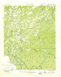
1936 Waterville
Haywood County, TN
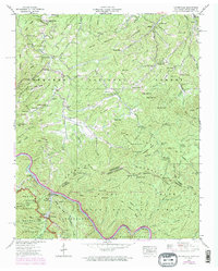
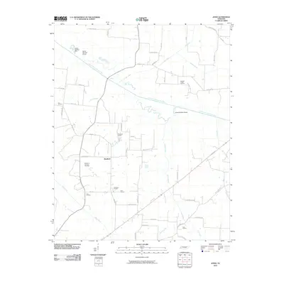
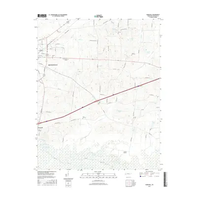
1940 Waterville
Haywood County, TN
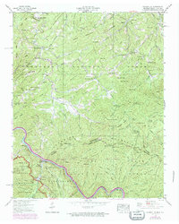
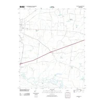
1950 Sunnyhill
Haywood County, TN
1951 Sunnyhill
Haywood County, TN
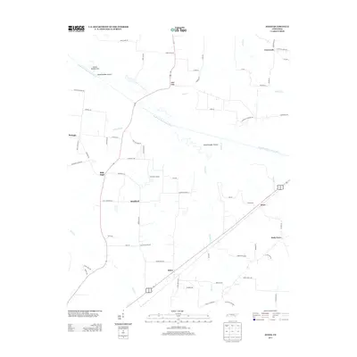
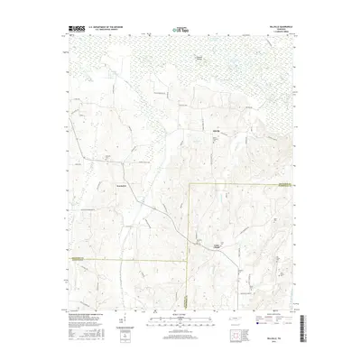
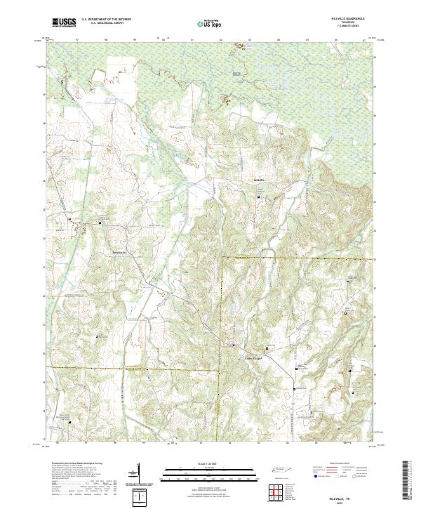
1959 Hillville
Haywood County, TN
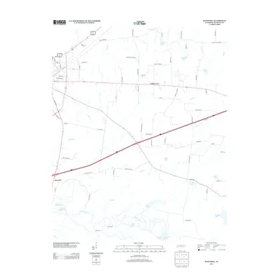
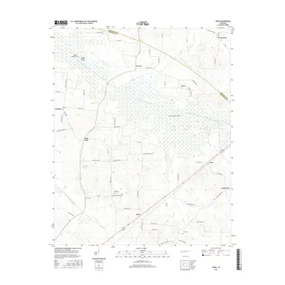
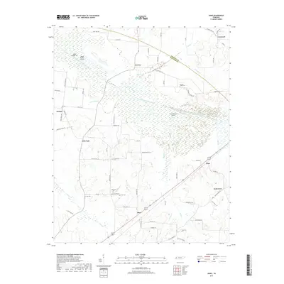
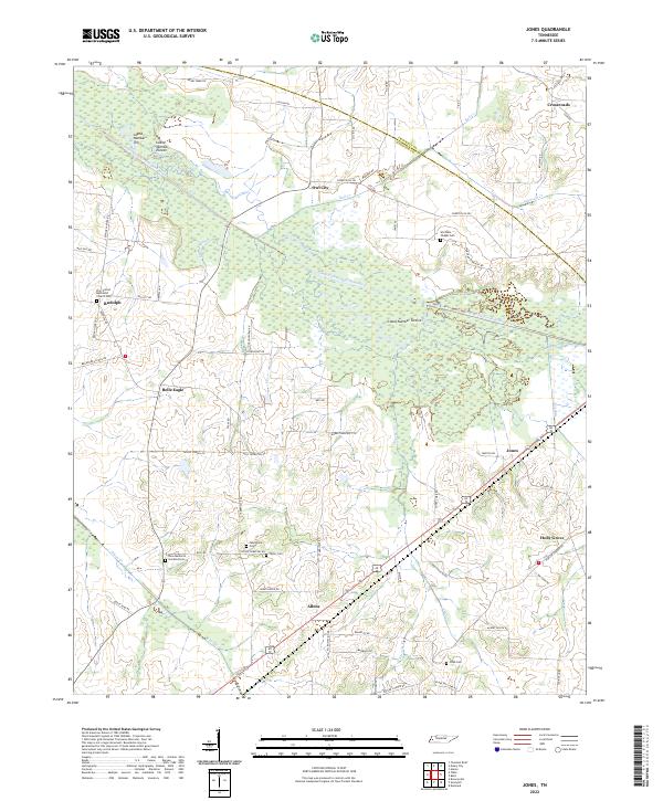
1961 Jones
Haywood County, TN
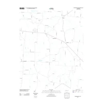
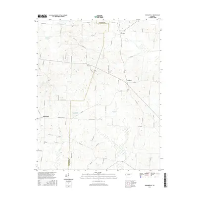
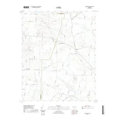
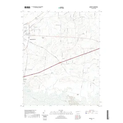
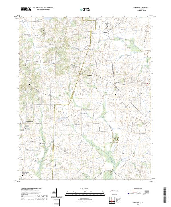
1964 Durhamville
Haywood County, TN
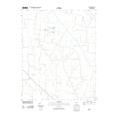
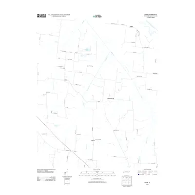
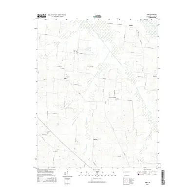
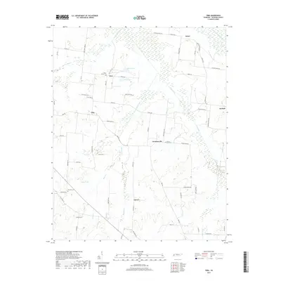
1964 Tibbs
Haywood County, TN
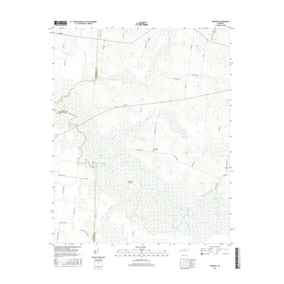
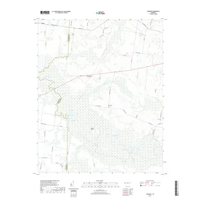
1964 Turnpike
Haywood County, TN
2010 Durhamville
Haywood County, TN
2010 Hillville
Haywood County, TN
2010 Jones
Haywood County, TN
2010 Sunnyhill
Haywood County, TN
2010 Tibbs
Haywood County, TN

2010 Turnpike
Haywood County, TN
2013 Durhamville
Haywood County, TN
2013 Hillville
Haywood County, TN
2013 Jones
Haywood County, TN
2013 Sunnyhill
Haywood County, TN
2013 Tibbs
Haywood County, TN
2013 Turnpike
Haywood County, TN
2016 Durhamville
Haywood County, TN
2016 Hillville
Haywood County, TN
2016 Jones
Haywood County, TN
2016 Sunnyhill
Haywood County, TN
2016 Tibbs
Haywood County, TN
2016 Turnpike
Haywood County, TN
2019 Durhamville
Haywood County, TN
2019 Hillville
Haywood County, TN
2019 Jones
Haywood County, TN
2019 Sunnyhill
Haywood County, TN
2019 Tibbs
Haywood County, TN
2019 Turnpike
Haywood County, TN
2022 Durhamville
Haywood County, TN
2022 Hillville
Haywood County, TN
2022 Jones
Haywood County, TN
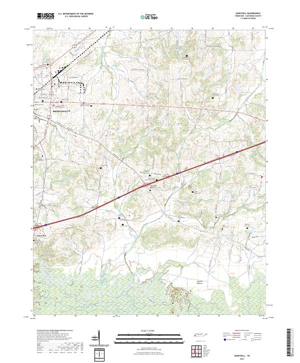
2022 Sunnyhill
Haywood County, TN

2022 Tibbs
Haywood County, TN
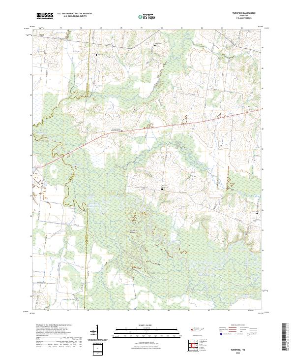
2022 Turnpike
Haywood County, TN