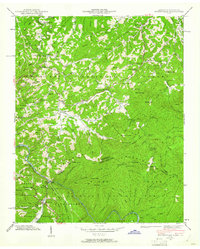
1940 Map of Waterville
USGS Topo · Published 1961About this map
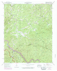
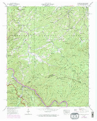
The Pigeon River cuts a deep path through the high-elevation borderlands where the Great Smoky Mountains National Park, Cherokee National Forest, and Pisgah National Forest converge. This 1940 field examination captures the industrial and rural life of the era, centered on the Waterville settlement and its prominent Power Plant and Surge Tank facilities. The rugged landscape is dotted with remote mountain communities and institutions, such as Over Mountain Sch, London, and Tom Town, which are connected by a network of gap-crossing trails and primitive roads.
Find a feature on this map
110 named features on this map. Tap any name to fly to it.
Don’t see what you’re looking for? This feature index may not catch every label — zoom into the map to look around manually.
Map Details
Editions of this 1940 Waterville Map
6 editions found
Other maps of this area

1893 · Mt Guyot
USGS Topo · 1:125,000

1894 · Asheville
USGS Topo · 1:125,000

1901 · Asheville
USGS Topo · 1:125,000

1912 · Mt Guyot
USGS Topo · 1:125,000

1935 · Newport
USGS Topo · 1:48,000

1935 · Hartford
USGS Topo · 1:24,000

1935 · Paint Rock
USGS Topo · 1:24,000

1935 · Neddy Mountain
USGS Topo · 1:24,000

1935 · Lemon Gap
USGS Topo · 1:24,000

1936 · Hepco
USGS Topo · 1:24,000