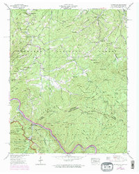
1940 Map of Waterville
USGS Topo · Published 1974About this map
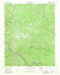
The Waterville community serves as a focal point in this 1940 survey of the rugged borderlands between Tennessee and North Carolina. Situated along the Pigeon River, the landscape is defined by the industrial presence of the Power Plant and its associated Surge Tank, highlighting early hydroelectric infrastructure in the region. The map captures a moment when rural life and large-scale public land management coexisted, with the Great Smoky Mountains National Park and Cherokee National Forest covering substantial portions of the terrain. Local genealogists will find value in the numerous family-linked landmarks and small rural institutions, such as Andrews Chapel, Bell Hill Sch, and Hall Cem. High-elevation features like Mt Sterling and Dan Top provide a clear view of the complex topography that historically isolated these mountain settlements. The inclusion of the Appalachian Trail through Davenport Gap marks the era's growing emphasis on wilderness recreation and conservation.
Find a feature on this map
135 named features on this map. Tap any name to fly to it.
Don’t see what you’re looking for? This feature index may not catch every label — zoom into the map to look around manually.
Map Details
Editions of this 1940 Waterville Map
6 editions found
Other maps of this area

1893 · Mt Guyot
USGS Topo · 1:125,000

1894 · Asheville
USGS Topo · 1:125,000

1901 · Asheville
USGS Topo · 1:125,000

1912 · Mt Guyot
USGS Topo · 1:125,000

1935 · Newport
USGS Topo · 1:48,000

1935 · Hartford
USGS Topo · 1:24,000

1935 · Paint Rock
USGS Topo · 1:24,000

1935 · Neddy Mountain
USGS Topo · 1:24,000

1935 · Lemon Gap
USGS Topo · 1:24,000

1936 · Hepco
USGS Topo · 1:24,000