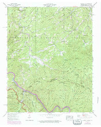
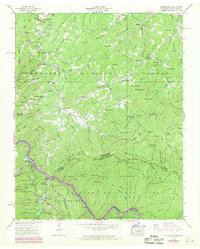
1940 Map of Waterville
USGS Topo · Published 1974About this map
Waterville stands as a focal point of industrial development along the Pigeon River in this 1940 record, which includes significant revisions from 1968. The map details a complex electrical infrastructure including a Power Plant, Surge Tank, and the Cataloochee Hydroelectric Tunnel, illustrating the hydraulic engineering of the era. This industrial presence contrasts with the surrounding mountain landscape, much of which is designated as the Great Smoky Mountains National Park and Pisgah National Forest.
Find a feature on this map
73 named features on this map. Tap any name to fly to it.
Don’t see what you’re looking for? This feature index may not catch every label — zoom into the map to look around manually.
Map Details
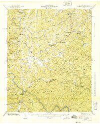
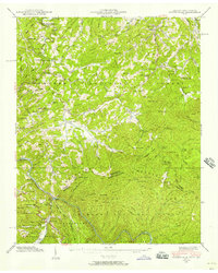
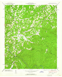
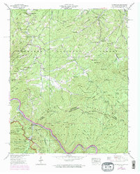
Editions of this 1940 Waterville Map
6 editions found
Other maps of this area

1893 · Mt Guyot
USGS Topo · 1:125,000

1894 · Asheville
USGS Topo · 1:125,000

1901 · Asheville
USGS Topo · 1:125,000

1912 · Mt Guyot
USGS Topo · 1:125,000

1935 · Newport
USGS Topo · 1:48,000

1935 · Hartford
USGS Topo · 1:24,000

1935 · Paint Rock
USGS Topo · 1:24,000

1935 · Neddy Mountain
USGS Topo · 1:24,000

1935 · Lemon Gap
USGS Topo · 1:24,000

1936 · Hepco
USGS Topo · 1:24,000