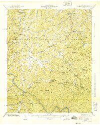
1940 Map of Waterville
USGS Topo · Published 1940About this map
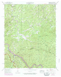
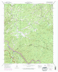
Waterville and its surrounding mountain ridges sit at the convergence of three significant public lands, with the Cherokee National Forest, Pisgah National Forest, and the Great Smoky Mountains National Park all meeting near the Tennessee North Carolina state line. The landscape is defined by its extreme relief, traced by the early route of the Appalachian Trail as it crosses Davenport Gap and winds through the Snowbird Mountains. A high concentration of family cemeteries and rural schoolhouses, such as Bell Hill Sch and New Prospect Sch, are scattered throughout the hollows, indicating a dispersed but established upland community. The presence of the Power Plant and Surge Tank at Waterville marks a transition toward industrial infrastructure in a region otherwise dominated by traditional settlements like Laws and Tom Town. Local spiritual life is anchored by landmarks like Andrews Chapel and Piney Grove Ch, while numerous streams like Big Creek and Grassy Fork drain the steep slopes of Mt Sterling.
Find a feature on this map
129 named features on this map. Tap any name to fly to it.
Don’t see what you’re looking for? This feature index may not catch every label — zoom into the map to look around manually.
Map Details
Editions of this 1940 Waterville Map
6 editions found
Other maps of this area

1893 · Mt Guyot
USGS Topo · 1:125,000

1894 · Asheville
USGS Topo · 1:125,000

1901 · Asheville
USGS Topo · 1:125,000

1912 · Mt Guyot
USGS Topo · 1:125,000

1935 · Newport
USGS Topo · 1:48,000

1935 · Hartford
USGS Topo · 1:24,000

1935 · Paint Rock
USGS Topo · 1:24,000

1935 · Neddy Mountain
USGS Topo · 1:24,000

1935 · Lemon Gap
USGS Topo · 1:24,000

1936 · Hepco
USGS Topo · 1:24,000