
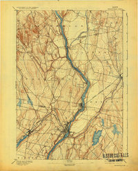
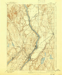
1892 Map of Waterville
USGS Topo · Published 1892About this map
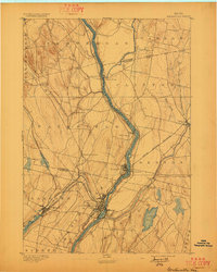
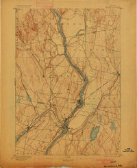
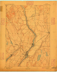
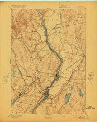
The Kennebec River corridor serves as the industrial and transit spine of central Maine in this late nineteenth-century survey. The primary urban center of Waterville is shown at the confluence with the Sebasticook River, where the Maine Central Railroad network converges to support local mills and commerce. The map records the early development of Winslow and Fairfield, alongside smaller agrarian hubs such as Fairfield Center and East Fairfield.
Find a feature on this map
31 named features on this map. Tap any name to fly to it.
Don’t see what you’re looking for? This feature index may not catch every label — zoom into the map to look around manually.
Map Details
Editions of this 1892 Waterville Map
7 editions found
Other maps of this area

1892 · Augusta
USGS Topo · 1:62,500

1893 · Vassalboro
USGS Topo · 1:62,500

1894 · Norridgewock
USGS Topo · 1:62,500

1898 · Norridgewock
USGS Topo · 1:62,500

1898 · Vassalboro
USGS Topo · 1:62,500

1904 · Anson
USGS Topo · 1:62,500

1913 · Skowhegan
USGS Topo · 1:62,500

1916 · Liberty
USGS Topo · 1:62,500

1926 · Burnham
USGS Topo · 1:62,500

1930 · Pittsfield
USGS Topo · 1:48,000