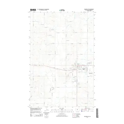
2014 Map of Watford City
USGS Topo · Published 2014About this map
Watford City serves as the focal point of this North Dakota landscape, situated at the intersection of critical transit corridors. The settlement pattern is defined by a dense grid of streets such as Park Ave W and 3rd Ave SE, reflecting its role as a regional hub in McKenzie County. The surrounding terrain is deeply etched by a network of seasonal watercourses, including Tobacco Garden Creek to the north and the winding path of Cherry Creek, which flows directly through the southern portion of the city. These drainages create a complex topography of draws and ridges that contrast with the organized layout of the municipal center and the Watford City Municipal Airport to the southeast. The prominence of Us-85 underscores the area's reliance on highway infrastructure for connecting these prairie communities.
Find a feature on this map
57 named features on this map. Tap any name to fly to it.
Don’t see what you’re looking for? This feature index may not catch every label — zoom into the map to look around manually.
Map Details
Editions of this 2014 Watford City Map
This is the sole edition of this map. No revisions or reprints were ever made.
Other maps of this area

1953 · Watford City
USGS Topo · 1:250,000

1957 · Watford City
USGS Topo · 1:250,000

1958 · Stocke Butte
USGS Topo · 1:24,000

1958 · Tepee Buttes
USGS Topo · 1:24,000

1959 · Lone Butte NW
USGS Topo · 1:24,000

1967 · Watford City
USGS Topo · 1:250,000

1978 · Watford City NW
USGS Topo · 1:24,000

1978 · Arnegard
USGS Topo · 1:24,000

1978 · Schafer
USGS Topo · 1:24,000

1978 · Watford City NE
USGS Topo · 1:24,000