
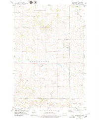
1959 Map of Lone Butte NW
USGS Topo · Published 1960About this map
Spring Creek Ch and several one-room schoolhouses mark the sparse ranching landscape of McKenzie County in the late 1950s. This survey, conducted as part of the Department of the Interior's development program for the Missouri River Basin, reveals a territory defined by deep coulees and high buttes. Local education and community centers like Elkhorn Sch and Wonderland Sch are situated along the winding paths of Elkhorn Creek and Spring Creek.
Find a feature on this map
15 named features on this map. Tap any name to fly to it.
Don’t see what you’re looking for? This feature index may not catch every label — zoom into the map to look around manually.
Map Details
Editions of this 1959 Lone Butte NW Map
This is the sole edition of this map. No revisions or reprints were ever made.
Other maps of this area

1953 · Watford City
USGS Topo · 1:250,000

1957 · Watford City
USGS Topo · 1:250,000

1958 · Long X Divide
USGS Topo · 1:24,000

1958 · Lone Butte SE
USGS Topo · 1:24,000

1958 · Lone Butte
USGS Topo · 1:24,000

1958 · Tepee Buttes
USGS Topo · 1:24,000

1959 · Lone Butte NE
USGS Topo · 1:24,000

1967 · Watford City
USGS Topo · 1:250,000

1978 · Schafer
USGS Topo · 1:24,000
1978 · Schafer SE
USGS Topo · 1:24,000