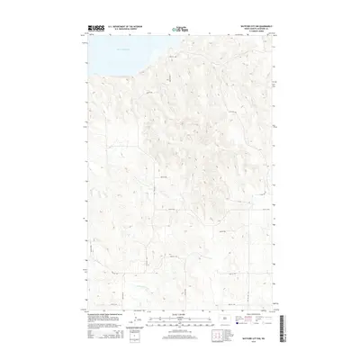
2014 Map of Watford City NW
USGS Topo · Published 2014About this map
Lake Sakakawea dominates the northern horizon of this McKenzie County landscape, where the Missouri River's impoundment meets the broken terrain of the northern plains. South of the shoreline, the drainage of Tobacco Garden Cr carves a path through a series of ridges and draws, defining the natural movement of the land before it levels out into the section-line grid of the rural West.
Find a feature on this map
14 named features on this map. Tap any name to fly to it.
Don’t see what you’re looking for? This feature index may not catch every label — zoom into the map to look around manually.
Map Details
Editions of this 2014 Watford City NW Map
This is the sole edition of this map. No revisions or reprints were ever made.
Other maps of this area

1911 · Ray
USGS Topo · 1:125,000

1953 · Williston
USGS Topo · 1:250,000

1953 · Watford City
USGS Topo · 1:250,000

1957 · Williston
USGS Topo · 1:250,000

1957 · Watford City
USGS Topo · 1:250,000

1967 · Watford City
USGS Topo · 1:250,000

1972 · Rawson
USGS Topo · 1:24,000

1978 · Lake Jessie
USGS Topo · 1:24,000

1978 · Watford City NW
USGS Topo · 1:24,000

1978 · Arnegard
USGS Topo · 1:24,000