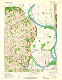
1961 Map of Wathena
USGS Topo · Published 1962About this map
The Missouri River defines this landscape on the Kansas-Missouri border, where the fertile expanses of Gladden Bottom and French Bottom meet the wooded bluffs of the Burr Oak and Washington townships. The rail infrastructure of the early 1960s is particularly prominent, featuring a convergence of the Chicago Rock Island and Pacific and the Union Pacific near the town of Wathena. These lines facilitated the movement of goods through the river valley, while the presence of several local quarries suggests an active extraction industry tied to the region's geology.
Find a feature on this map
46 named features on this map. Tap any name to fly to it.
Don’t see what you’re looking for? This feature index may not catch every label — zoom into the map to look around manually.
Map Details
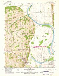
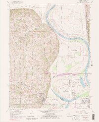
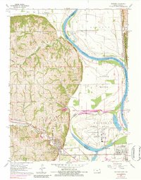
Editions of this 1961 Wathena Map
4 editions found
Other maps of this area

1885 · Atchison
USGS Topo · 1:125,000

1888 · Atchison
USGS Topo · 1:125,000

1893 · Atchison
USGS Topo · 1:125,000

1924 · St. Joseph
USGS Topo · 1:62,500

1926 · Atchison
USGS Topo · 1:62,500

1926 · Saint Joseph
USGS Topo · 1:62,500

1926 · Oregon
USGS Topo · 1:62,500

1927 · Dearborn
USGS Topo · 1:62,500

1950 · Kansas City
USGS Topo · 1:250,000

1954 · Kansas City
USGS Topo · 1:250,000