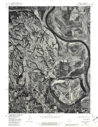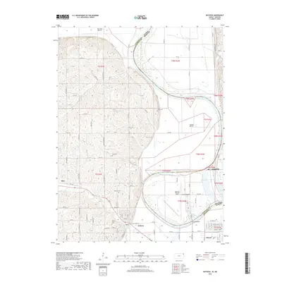
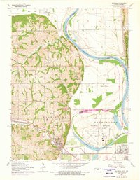
1961 Map of Wathena
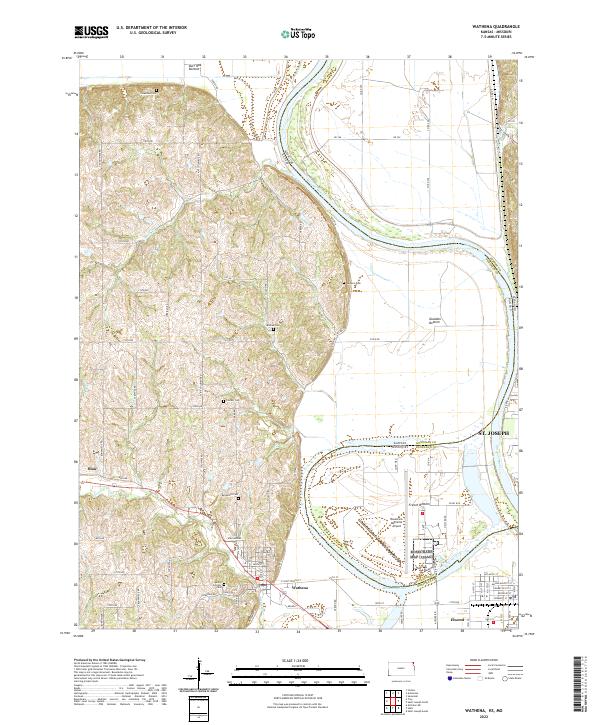
USGS Topo · Published 1983About this map
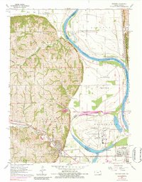
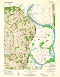
Wathena and Elwood anchor this study of the Missouri River bottomlands during the early 1960s, a landscape defined by the shifting course of the Missouri River and the intensive agriculture of French Bottom and Burr Oak. The topography reveals a sharp contrast between the flat, fertile floodplains and the dissected loess bluffs to the west, where family and community heritage is preserved in numerous rural landmarks. Genealogists will find a dense concentration of burial sites including Columbus Cem, Mt Calvary Cem, and the secluded Moskau Cem. Transportation is a central theme, with the Chicago Rock Island and Pacific and Union Pacific railroads converging near the river, while Rosecrans Memorial Airport occupies a prominent loop of the riverbank in the French Bottom area, reflecting the mid-century infrastructure of this Kansas-Missouri border region.
Find a feature on this map
39 named features on this map. Tap any name to fly to it.
Don’t see what you’re looking for? This feature index may not catch every label — zoom into the map to look around manually.
Map Details
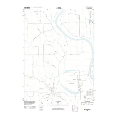
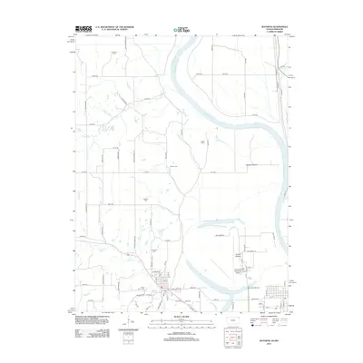
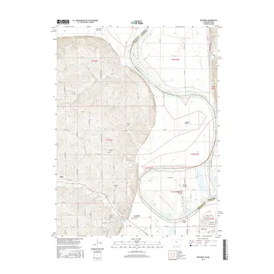
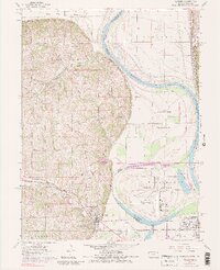
Editions of this 1961 Wathena Map
4 editions found
Historical Maps of Saint Joseph Through Time
7 maps found