Loading...
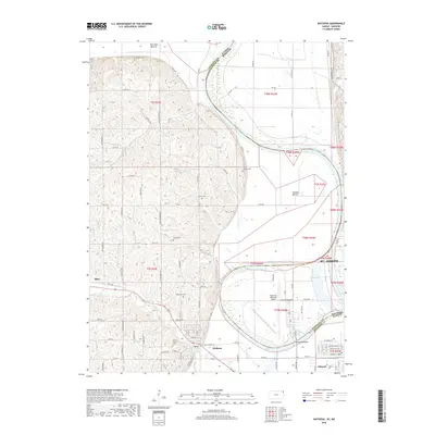
Loading map...1961 Map of Wathena
USGS Topo · Published 1983About this map
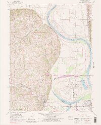
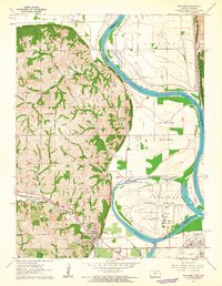
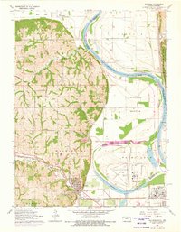
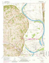
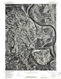
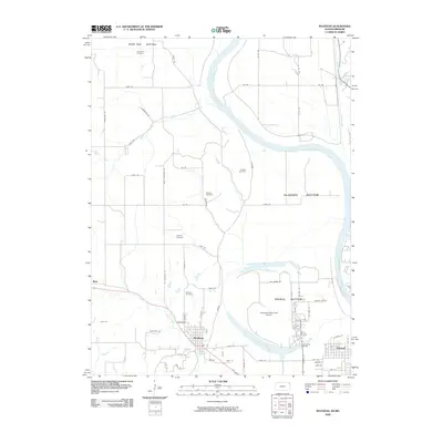
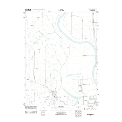
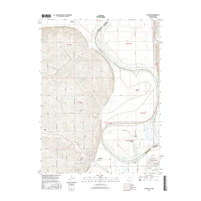
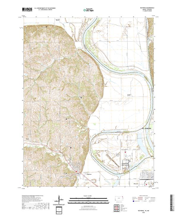
The Missouri River defines the landscape of this Doniphan County region, creating wide alluvial plains known as Burr Oak Bottom, Gladden Bottom, and French Bottom. This 1961 survey, photorevised in 1972, documents a transition from the agricultural river flats to the dissected loess bluffs. The settlement at Wathena serves as a focal point near the convergence of the Chicago Rock Island and Pacific and Union Pacific railroads.
Find a feature on this map
40 named features on this map. Tap any name to fly to it.
Don’t see what you’re looking for? This feature index may not catch every label — zoom into the map to look around manually.
Map Details
Date Portrayed1961
Date Published1983
PublisherU.S. Geological Survey
Map TypeTopographic
Scale1:24,000
Physical Dimensions21.73 x 26.76 inches
Editions of this 1961 Wathena Map
4 editions found
Historical Maps of Saint Joseph Through Time
7 maps found
Featured Locations
Source Details
SourceU.S. Geological Survey
CopyrightPublic Domain