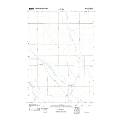
2010 Map of Watson
USGS Topo · Published 2010About this map
Watson stands as a focal point of this western Minnesota landscape, characterized by the intricate water management systems of the Chippewa River valley. The map reveals the sophisticated hydrological engineering of the region, anchored by the Lac Qui Parle Dam and the Chippewa River Diversion Dam, which regulate the flow between the river and the Minnesota River basin. The distinctive geological feature known as the Watson Sag dominates the central topography, cutting a wide path northwest of town. Local history and genealogy are anchored by landmarks like the Watson Post Office and two nearby burial grounds, Zion Cemetery and the Norwegian Lutheran Cemetery. To the southwest, the small settlement of Churchill and the Bethel Camp sit near the riverbanks, illustrating the distribution of community and recreation along the fertile bottomlands of Chippewa County at the start of the decade.
Find a feature on this map
30 named features on this map. Tap any name to fly to it.
Don’t see what you’re looking for? This feature index may not catch every label — zoom into the map to look around manually.
Map Details
Editions of this 2010 Watson Map
This is the sole edition of this map. No revisions or reprints were ever made.
Other maps of this area

1953 · New Ulm
USGS Topo · 1:250,000

1953 · Saint Cloud
USGS Topo · 1:250,000

1957 · Saint Cloud
USGS Topo · 1:250,000

1957 · New Ulm
USGS Topo · 1:250,000

1958 · New Ulm
USGS Topo · 1:250,000

1958 · Saint Cloud
USGS Topo · 1:250,000

1958 · Milan
USGS Topo · 1:24,000

1958 · Big Bend City
USGS Topo · 1:24,000

1958 · Watson
USGS Topo · 1:24,000

1958 · Milan NW
USGS Topo · 1:24,000